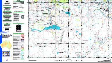
Birrindudu 1-250,000 Topographic Map
$15.95 – $30.95
Description:
Print on Demand
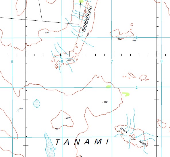
22 Mile Bore 22 Mile Waterhole 22 Mile Yard 28 Mile Bore Bauhina No 2 Bore Bauhinia Bore Birrindudu Birrindudu Airfield Birrindudu Bore Birrindudu Range Birrindudu Waterhole Blessen Creek Bore Blinka Blinka Creek Bloodwood Bore Blue Bush Bore Blue Bush No 2 Bore Bore Bluebush Browns Range Coolibah Creek Corner Tank Doyles Bore Eva Creek Fence Bore Gum Creek Gwens Tank Helena Creek Honeypot Bore Lake Bore Longa Hill Bore Mana Range Maud Bore Maud Creek Maud No 3 Bore Middle Bore Mosquito Creek Mount Archie Mount Archie Dam Mount Herbert Mount Winnecke No 17 Bore No 19 Bore No 20 Bore No 3 Rockhole No 31 Bore No 33 Bore No 37 Bore Nongra Bore Nongra Lake Nutwood Bore Pattie River Pinja Plain Bore Rymans Bore Sandy Bore Sandy Creek Bore Scotties Bore Smiths Bore Soap Dam Sturt Creek Sturt Creek Floodout Styles Creek Threeways Dam Twin Tank Wallamunga Wallamunga Waterhole Wallamunga Yard Ware Range Warrens Bore Winnecke Range Yellow Waterhole Dam Ridgepole Waterhole Twenty-Two Mile Waterhole Hooker Creek Well T G Well Seven Mile Well Cumming Well Bluebush Bore Clarris Bore Round Hill Frog Valley Waterhole Yeerim Soak Findley Creek
| Name: | Birrindudu |
| Publisher: | Geoscience Australia (Australian Government) |
| Scale: | 1:250000 |
| Latitude Range: | 18° 00.0′ S – 19° 00.0′ S |
| Longitude Range: | 129° 0.0′ E – 130° 30.0′ E |
| Projection / Datum: | Universal Transverse Mercator, GDA94 |
| Approx Print Size: | 0.44m X 0.67m |
| Publication Date: | 1-Jun-03 |


