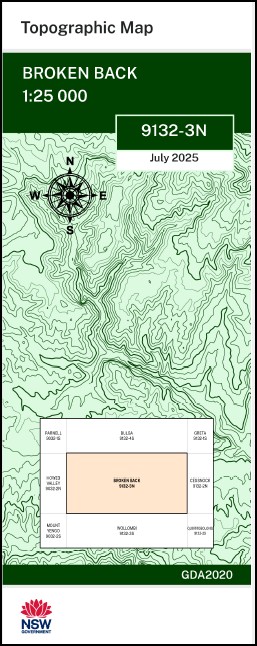

Broken Back 1-25,000 NSW Topographic Map 9132-3-S
Price range: $16.95 through $28.95
Description:
Broken Back 1-25,000 NSW Topographic Map 9132-3-S
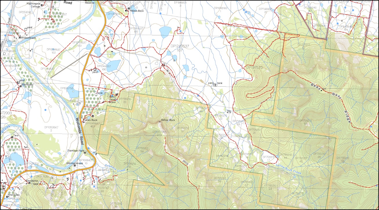
Broken Back 1-25,000 Scale NSW Topographical Map is used for Walking, 4WD, Fishing, Camping, Motorcycle, both On and Off Road, Gold Prospecting and for those simply going for a family weekend drive.
Topographical maps show not only Contours of the Terrain but also Walking Tracks, Sealed and Unsealed Roads, Rivers, Creeks, Lakes, Historical Point of Interest, Old Mine Sites mbtg and National and State Park areas.
This map includes the following localities: Broke Adams Peak Mount Baker Baker Baldy Arm Baldy Creek Barneys Creek Barneys Gully The Bees Nest Arm Bees Nest Ridge Broken Back Cedar Creek Coolamin Coolawine Dalton Daltons Defence Deep Creek Goodwin Creek Harrowby Goodwin Gully Little Baldy Creek Little Baldys Arm Mans Head Mans Head Point Mulvanes Creek Mulvanes Gully Ovingham Paynes Crossing Peach Tree Creek Peach Tree Gully Pictons Gully Pokolbin State Forest Pooles Rock Potholes Gully Right Arm Wilks Creek Sawpit Gully Stringybark Ridge Sugarloaf Hill Vault Creek Yellow Rock Yellow Rock Creek Yellow Rock Gully Drews Creek Broke Reserve Millfield Dalton Defence
| Scale: | 1:25,000 |
| Latitude Range: | 32 45.0 S – 32 52.5 S |
| Longitude Range: | 151 00.0 E – 151 15.0 E |
| Approx Print Size: | 0.56m X 1.11m |
| Projection: | GDA 2020
Edition 2025 |
You may also like…
-
Wollombi 1-25,000 NSW Topographic Map
Price range: $16.95 through $31.95Select options This product has multiple variants. The options may be chosen on the product page -
Cessnock 1-25,000 NSW Topographic Map
Price range: $16.95 through $31.95Select options This product has multiple variants. The options may be chosen on the product page -
Greta 1-25,000 NSW Topographic Map
Price range: $16.95 through $28.95Select options This product has multiple variants. The options may be chosen on the product page