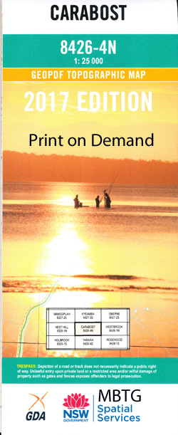
Carabost 1-25,000 NSW Topographic Map
$16.95 – $31.95
Description:
8426-4-N Print on Demand
Carabost 1-25,000 Scale NSW Topographical Map is usedfor Walking, 4WD, Fishing, Camping, Motorcycle, both On and Off Road, GoldProspecting and for those simply going for a family weekend drive.
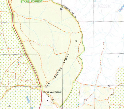
Topographicalmaps show not only Contours of the Terrain but also Walking Tracks, Sealed andUnsealed Roads, Rivers, Creeks, Lakes, Historical Point of Interest, Old MineSites and National and State Park areas.
 Laminate and folded this NSW Topographical map, $12.00 see below
This map includes the following localities: Argyle Creek Bald Hill Ben Lomond Range Ben Lomond Ridge Black Duck Creek Bulalgee Bulalgee Hill Bulalgee or Jacobs Creek Campbells Creek Carabost Carabost State Forest Forest Creek Four Mile Creek Gentle Annie Saddle Horse Creek Jacobs Creek Carabost Public School Dead Horse Creek Deans Creek Deans or Four Mile Creek Gentle Annie Lapstone Creek Little Billabong Little Billabong Creek Little Billabong Creek(Eastern Branch) Little Billabong Cemetery Little Billabung Creek Little Billabung (Eastern Branch) Lunts Creek Lunts Sugarloaf Lunts Vale Cemetery Mount Airy Public School Murray Paddys Creek Paddys Gully Shockeroo Creek Splitters Creek Splitters Creek The Sugarloaf Creek Sugar Loaf The The Sugarloaf The Sugar Loaf Tom Lunts Creek Vokins Creek Billabong Sugarloaf
| Scale: | 1:25000 |
| Latitude Range: | 35 30.0 S – 35 37.5 S |
| Longitude Range: | 147 30.0 E – 147 45.0 E |
| Approx Print Size: | 0.56m X 1.11m |
| Projection: | Transverse Mercator |


