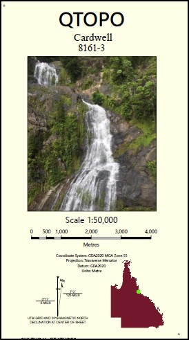
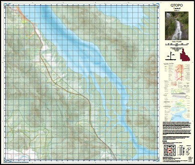
Cardwell 1-50,000 QLD Topographic Map 8161-3
Price range: $16.95 through $28.95
Description:
Cardwell 1-50,000 QLD Topographic Map
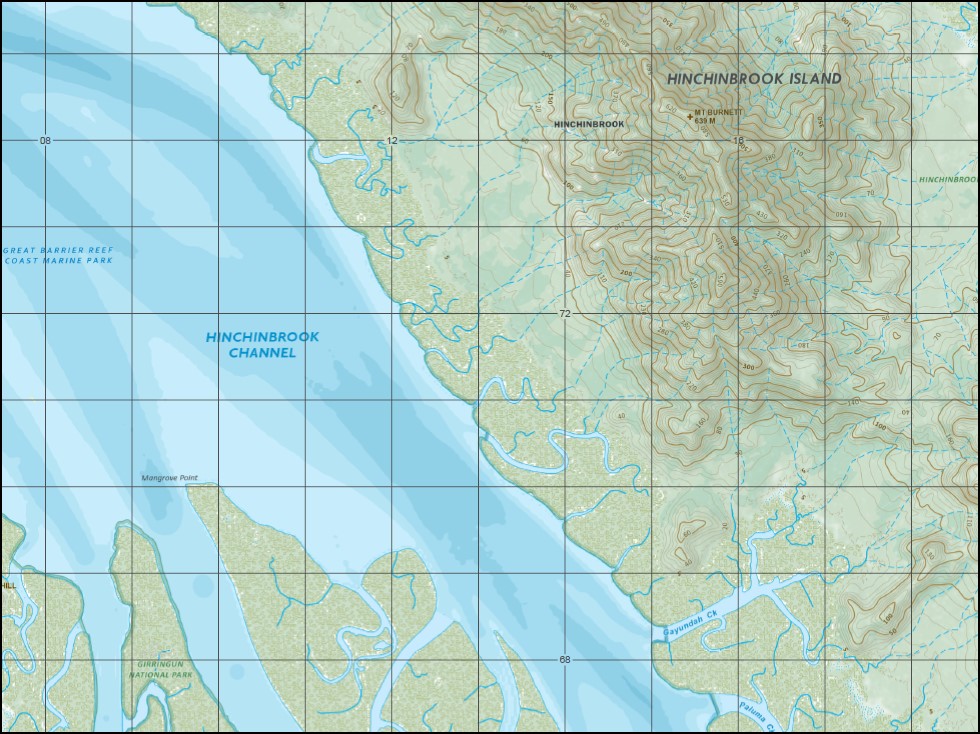
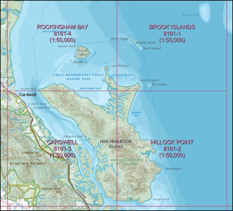
The Western Half of Hinchinbrook Island, to cover entire Island you will need Hillock Point, Rockingham Bay and Brook Island 1-50,000 scale.
Cardwell Anchorage Point Mount Arthur Scott Barra castle Hill Benjamin Flats Bishop Peak Blady Grass Creek Bluewater Creek Boulder Creek Boulder Hill Bridge Creek Broken Pole Creek Mount Burnett Cadillah Creek Mount Cadillah Calka Cement Creek Clarkson Creek Combo Conn Conn Creek Dalrymple Gap Damper Creek Damper Hill Delta Creek Deluge Inlet Duncan Bluff Ellerbeck Elphinstone Creek Fisher Creek Fisherman Point Five Mile Creek Gayundah Creek Goddard Range Greenwood Hill Hay Creek Haycock Island Hecate Point Hinchinbrook Channel Hinchinbrook Island National Park Hinchinbrook Island Jocks Lodge Laurence Creek Leach Leefe Peak Mailborree Mangrove Island Mangrove Point Manor Creek Mary Creek Mendel Creek Morris Creek Mount Elphinstone Range Muddy Creek Mullers Creek Newman Creek One Mile Creek Oyster Point Pagalla Paluma Creek Parra Petermun Springs Pig Creek Pitt Mount Pitt Plunkett Creek Porter Creek Ranko Reis Point Rockingham Bay Range Rocky Point Round Hill Sandstone Creek Scraggy Point Scrubby Creek Slopeaway Stony Creek Sunday Creek Thangi The Haven Trevor Creek Two Mile Creek Twoagarra Waterfall Creek Weelkan Mount Westminster Abbey Wilkin Hill Dalrymple Creek Hinchinbrook Channel National Park Abergowrie State Forest Cardwell State Forest Hinchinbrook Rungoo Elphinstone Range Port Hinchinbrook Port of Hinchinbrook Seven Sisters Leafe Peak Creek Leafe Peak Canoe Creek Mount Slopeaway Bishops Peak Seymour River Neames Creek
| Name: | 8161-3 |
| Publisher: | Queensland Government |
| Scale: | 1:50,000 |
| Latitude Range: | 18° 15.0′ S – 18° 30.0′ S |
| Longitude Range: | 146° 0.0′ E – 146° 15.0′ E |
| Projection / Datum: | Universal Transverse Mercator, GDA 2020 |
| Approx Print Size: | 0.56m X 0.56m |
You may also like…
-
Hinchenbrook Island 1-50,0000 QLD Topographic Map Set
Price range: $65.00 through $112.00Select options This product has multiple variants. The options may be chosen on the product page -
Hillock Point 1-50,0000 QLD Topographic Map 8161-2
Price range: $16.95 through $28.95Select options This product has multiple variants. The options may be chosen on the product page -
Rockingham Bay 1-50,0000 QLD Topographic Map 8161-4
Price range: $16.95 through $28.95Select options This product has multiple variants. The options may be chosen on the product page -
Brook Islands 1-50,0000 QLD Topographic Map 8161-1
Price range: $16.95 through $28.95Select options This product has multiple variants. The options may be chosen on the product page