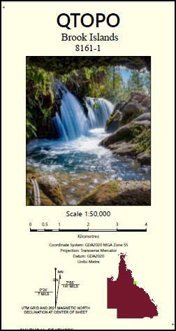
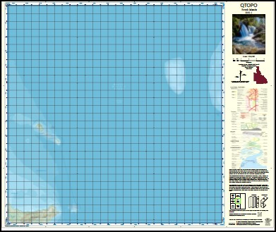
Brook Islands 1-50,0000 QLD Topographic Map 8161-1
$16.95 – $28.95
Description:
Brook Islands 1-50,0000 QLD Topographic Map 8161-1
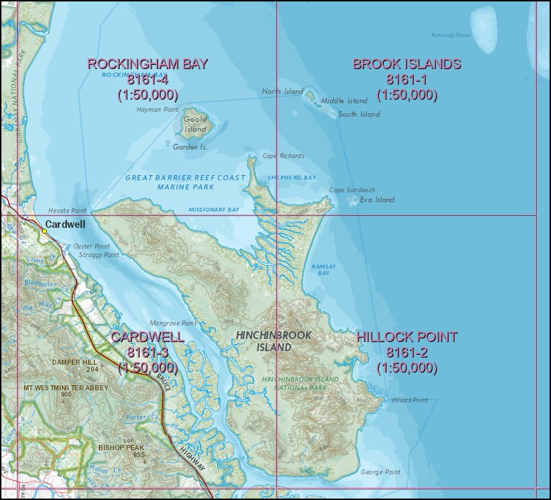
To cover entire Island you will need Hillock Point, Cardwell, Rockingham Bay and Brook Island 1-50,000 scale.
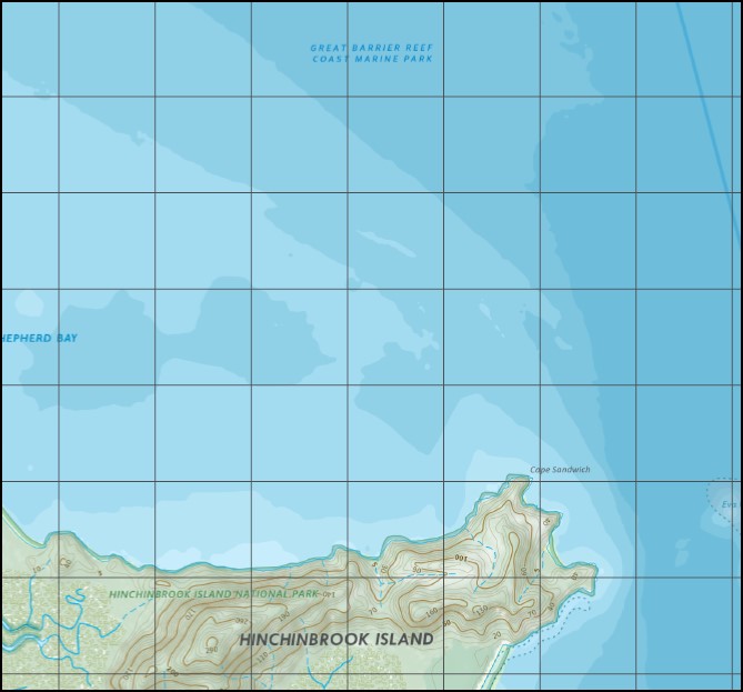
Mainly Sea, Brook Islands Brook Shoal Channel Rock Eva Island Kennedy Shoal Middle Island North Island Cape Sandwich Shepherd Bay South Island Tween Island Brook Islands National Park Eva Islet
| Name: | 8161-4 |
| Publisher: | Queensland Government |
| Scale: | 1:50000 |
| Latitude Range: | 18° 00.0′ S – 18° 15.0′ S |
| Longitude Range: | 146° 0.0′ E – 146° 15.0′ E |
| Projection / Datum: | Universal Transverse Mercator, GDA 94 |
| Approx Print Size: | 0.56m X 0.56m |
Read More


