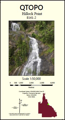
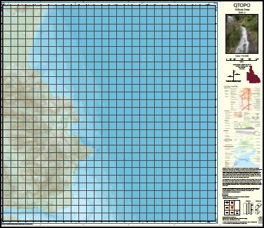

Hillock Point 1-50,0000 QLD Topographic Map 8161-2
Price range: $16.95 through $28.95
Description:
Hillock Point 1-50,0000 QLD Topographic Map 8161-2
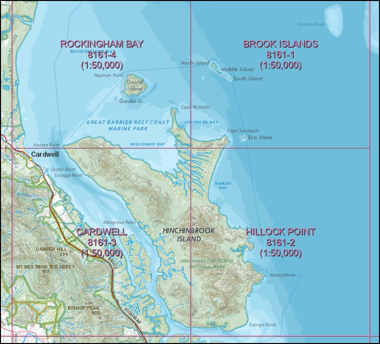
To cover entire Island you will need Cardwell, Rockingham Bay and Brook Island 1-50,000 scale.
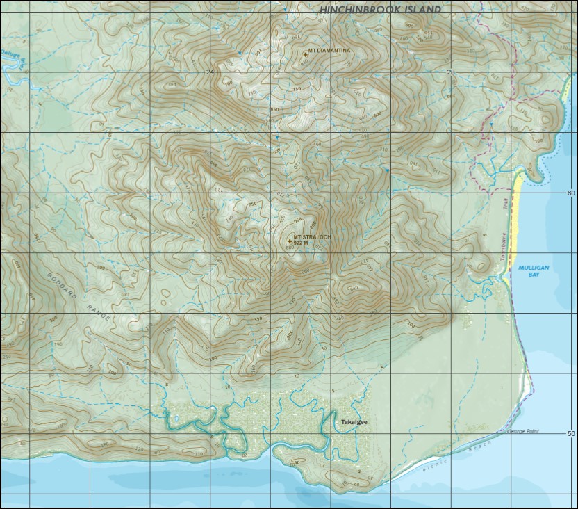
Agnes Island Mount Bowen Mount Diamantina Dungeness George Point Goddard Range Hillock Point Mulligan Bay Nina Peak Oyster Rock Picnic Beach Ramsay Bay Straloch Mount Straloch Takalgee The Thumb Waterfall Creek Zoe Bay Neames Creek Seaforth Channel Seaforth Entrance Dungeness Harbour
The Eastern Half of Hinchinbrook Island
| Name: | 8161-2 |
| Publisher: | Queensland Government |
| Scale: | 1:50000 |
| Latitude Range: | 18° 15.0′ S – 18° 30.0′ S |
| Longitude Range: | 146° 15.0′ E – 146° 30.0′ E |
| Projection / Datum: | Universal Transverse Mercator, GDA 94 |
| Approx Print Size: | 0.56m X 0.56m |
Read More
You may also like…
-
Rockingham Bay 1-50,0000 QLD Topographic Map 8161-4
Price range: $16.95 through $28.95Select options This product has multiple variants. The options may be chosen on the product page -
Cardwell 1-50,000 QLD Topographic Map 8161-3
Price range: $16.95 through $28.95Select options This product has multiple variants. The options may be chosen on the product page -
Hinchenbrook Island 1-50,0000 QLD Topographic Map Set
Price range: $65.00 through $112.00Select options This product has multiple variants. The options may be chosen on the product page -
Brook Islands 1-50,0000 QLD Topographic Map 8161-1
Price range: $16.95 through $28.95Select options This product has multiple variants. The options may be chosen on the product page