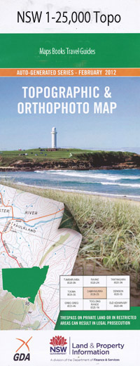
Carrai 1-25,000 NSW Topographic Map
$16.95 – $31.95
Description:
9336-3-N
Carrai 1-25,000 Scale NSW Topographical Map is usedfor Walking, 4WD, Fishing, Camping, Motorcycle, both On and Off Road, GoldProspecting and for those simply going for a family weekend drive.
Topographicalmaps show not only Contours of the Terrain but also Walking Tracks, Sealed andUnsealed Roads, Rivers, Creeks, Lakes, Historical Point of Interest, Old MineSites and National and State Park areas.
 Laminate and folded this NSW Topographical map, $12.00 see below
This map includes the following localities: Oak Vale Clarens River View Kunderang East Kunderang West Black Bush Creek Broad Crossing Carrai Creek Cedar Tree Flat Clifton Fallen Cedar Gully Fig Tree Flat Fingerboard Crossing Finger Gully Flaggy Rock Crossing Goffeys Creek Goffeys Gully Home Creek Kunderang Kunderang Station Creek Mcleods Point Marys Lookout Marys View Old Station Creek Oven Oven Mountain Peach Tree Creek Peach Tree Crossing Quakers Gully Raffertys Crossing Stringybark Spur Teatree Flat Three Rock Plain Creek Top Creek Two Acre Gully Wonga Gully Yard Creek Yard Gully Diggers Creek Cochrane Flora Reserve Little Three Rock Plain Creek Oaky Creek Waterloo Creek Northern Brittle Gum Flora Reserve Carrai
| Scale: | 1:25000 |
| Latitude Range: | 30 45.0 S – 30 52.5 S |
| Longitude Range: | 152 00.0 E – 152 15.0 E |
| Approx Print Size: | 0.56m X 1.11m |
| Projection: | Transverse Mercator |

