Cassilis 1-25,000 NSW Topographic Map
$16.95 – $31.95
Description:
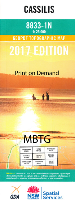
8833-1-N Print on Demand
Cassilis 1-25,000 Scale NSW Topographical Map is usedfor Walking, 4WD, Fishing, Camping, Motorcycle, both On and Off Road, GoldProspecting and for those simply going for a family weekend drive.
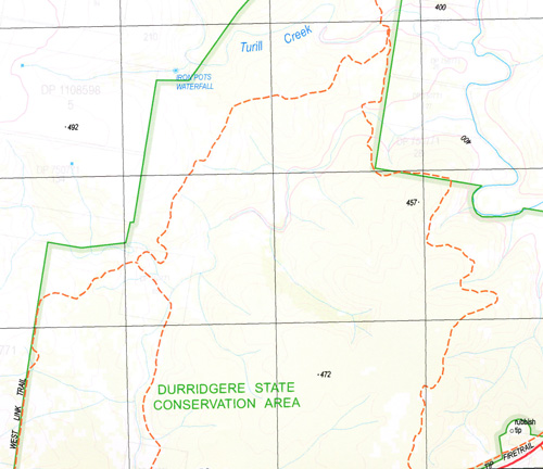
Topographicalmaps show not only Contours of the Terrain but also Walking Tracks, Sealed andUnsealed Roads, Rivers, Creeks, Lakes, Historical Point of Interest, Old MineSites and National and State Park areas.
 Laminate and folded this NSW Topographical map, $12.00 see below
This map includes the following localities: Bungabah Borambil Carnell Gully Cassilis Cassilis Post Office Cassilis Public School Curryall Curryall State Forest Curryall Creek Ironbark Creek Iron Pots Waterfall Kellys Springs Currycurryall Creek General Cemetery Kurrajong Creek Kurrajong Gully Nandoura Nundie Creek Rocks Creek Rocks Gully Rocky Gully Salty Creek Sandy Creek Sawpit Creek Sawpit Gully Tomimbil Creek Tomimbol Creek Tomimbil Gully Turill Turill State Forest Uarbry Uarbry Cemetery Wagrobil Creek Westons Knobs Wildrumah Gully Yellow Waterholes Gully Black Hill Cassilis Memorial Park Cassilis Park Cassilis War Memorial Wildrumah Creek Wilerman Gully
| Scale: | 1:25000 |
| Latitude Range: | 32 00.0 S – 32 07.5 S |
| Longitude Range: | 149 45.0 E – 150 00.0 E |
| Approx Print Size: | 0.56m X 1.11m |
| Projection: | Transverse Mercator |


