
Chicago Map Rand McNally
$17.95
2 in stock
Description:
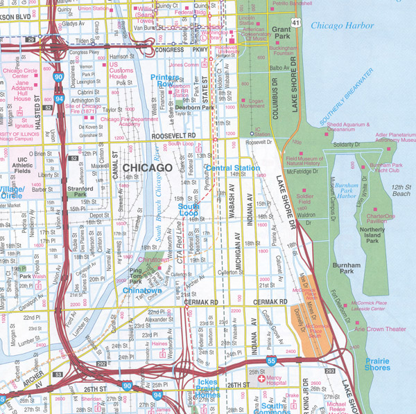
Rand McNally’s folded map featuring the highways of Chicago and vicinity is a must-have for anyone traveling in and around this part of the state, offering unbeatable accuracy and reliability.
- Regularly updated, full-color maps
- Clearly labeled Interstate, U.S., state, and county highways
- Indications of parks, points of interest, airports, county boundaries, and more
- Easy-to-use legend
- Detailed index
- Convenient folded size
| ISBN | 9780528007972
070609007977
|
| Coverage Area | Communities include: Aurora, Crystal Lake, Elgin, Elmhurst, Evanston, Gary, IN; Gurnee, Joliet, Naperville, Schaumburg, Skokie, Waukegan, Woodstock |
Read More