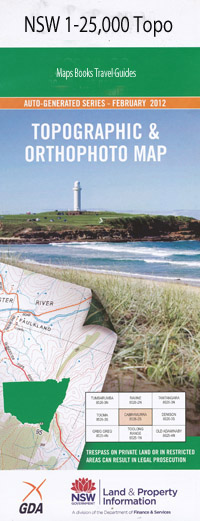
Clevedon 1-25,000 NSW Topographic Map
$16.95 – $31.95
Description:
Locations within this Map
Muldowns Kiawarra Billabong Brockley Little Plain Trigaire North Johns Creek Amaroo Ulooma Springfield Valley The Aberfoyle Marenbah Waringa Mawarra Mylae Willow Park Brookfield Eulola Messines Mount Oak Eckersley Park Trigaire Stonefield Merindah Clifton Yarana Briarfield Glenbrook Inverness Clovelly Glen Rock Brentwood Sugarloaf Pine Tree Glenora Rockvale North Girrakool Back Creek Avondale State Forest Anthonys Gully The Back Swamp Back Swamp Creek Bakers Peak Balaclava Creek Balaclava Gully Boundary Creek Bows Creek Bows Gully Clevedon Joeys Knob Head of Lambs Valley Creek Lagune Lagune Sugarloaf Lock Abbra Lagoon Lock Creek Mount Thompson Creek Spring Creek Springmount The Sugarloaf Tableland Creek Tableland Gully Black Rock Green Hills Chandlers Peak Paddledock Paddlecock Puddlecock Puddledock
| Scale: | 1:25000 |
| Latitude Range: | 30° 15.0′ S – 30° 22.5′ S |
| Longitude Range: | 151° 45.0′ E – 152° 0.0′ E |
| Datum: | GDA 94 |
| Approx Print Size: | 0.56m X 1.11m |
Laminate and folded this NSW Topographical map $12.00 see below.