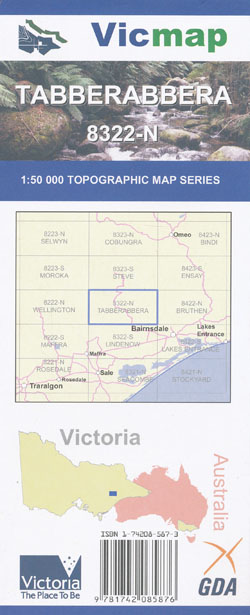
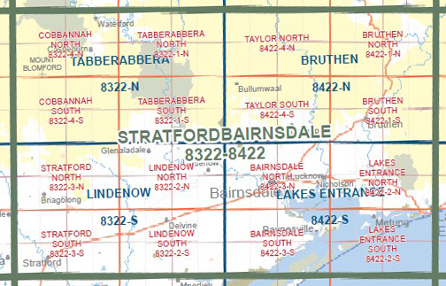
Cobbannah Tabbarabbera 1-50,000 Vicmap Old Series
$12.00
Description:
Out of Print
Replaced by the Tabberabbera 1-50,000 Vicmap, which covers the same are at the same scale.
The Tabberabbera new edition 1-50,000 will be supplied if this map is ordered
Main Features of this map includes:
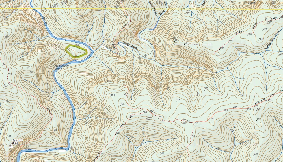
Mitchell River and Mitchell River National Park
Tabberabbera, Mitchell River National Park, The Little Dargo River, Dargo State Forest, Mitchell River, Mitchell River Walking Track, Yackandandah Point, Pannikan Point, TABBERABBERA NCR, Punchen Creek Natural Catchment Area, The Double Gullies, Wentworth State Forest, SINNOTTS, Angusvale, Angusvale Camping Area, Calvi Hill, mbtg, Warriballat State Forest, Morris Peak, THE SISTERS NORTH PEAK, THE SISTERS SOUTH PEAK, Ryan Peak, mbtg, Mitchell River National Walking Track, Jerguson Point, Den Of Nargun, Dargo State Forest, “Treasures”, Davey Knob, YELLOWMAN KNOB, Calajero State Forest, Hunter Corner, Iguana Creek, The Amphitheatre, Billy Goat Bend Camping Area, Tharawurt Falls, Deadcock Den, Echo Bend Bark Hut & Camping Park, Mount Alfred State Forest, Merrijig, MELWOOD EA, Argus Gap
Cobbannah, Valencia State Forest, Freestone Wurrundyangarla State Forest, mbtg, Woolenook, Blomford, BROWNS TERRACE, MOUNT BLOMFORD, Freestone Creek, MOUNT MOORNAPA FR, Moornapa, Calajero State Forest, mbtg, MOUNT DIFFICULTY, Mount Ray, Pinnacles State Forest, Reeves Knob, MOUNT BLOMFORD, Toolome, Freestone Wurrundyangarla State Forest, Junction Spur, Budgee Budgee, Lees Creek Track, Dargo State Forest, MOUNT BUDGEE BUDGEE, Waterford, Wonnangatta Caravan Park, London Stores Corner, Castleburn, MOUNT DJOANDAH