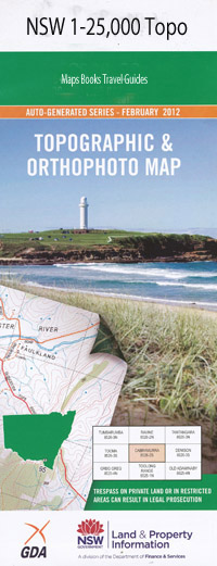
Coorongooba 1-25,000 NSW Topographic Map
$16.95
Description:
8932-2-S
Coorongooba 1-25,000 Scale NSW Topographical Map is usedfor Walking, 4WD, Fishing, Camping, Motorcycle, both On and Off Road, GoldProspecting and for those simply going for a family weekend drive.
Topographicalmaps show not only Contours of the Terrain but also Walking Tracks, Sealed andUnsealed Roads, Rivers, Creeks, Lakes, Historical Point of Interest, Old MineSites and National and State Park areas.
 We can Now LAMINATE and fold your NSW 1-25,000 Topographical map for $12.00. Just click on the image and Add to the Trolley
This map includes the following localities: The Nile Nilethe Tayar Brookside Mount Boonbourwa Box Hole Clearing Coorongooba Coorongooba Creek Mount Coorongooba Coricudgy Cyrils Rocks Mount Darcy Mount Duran Duran Eugenia Creek Grassy Mountain Jamison Capertee Peak Dunns Mountain Mclean Mead Hill Native Dog Hill Numietta Creek Ovens Creek Red Hill Rollen Creek Sassafras Creek The Ovens Wollemi National Park Upper Nile Wollemi
| Scale: | 1:25000 |
| Latitude Range: | 32 52.5 S – 33 00.0 S |
| Longitude Range: | 150 15.0 E – 150 30.0 E |
| Approx Print Size: | 0.56m X 1.11m |
| Projection: | Transverse Mercator |

