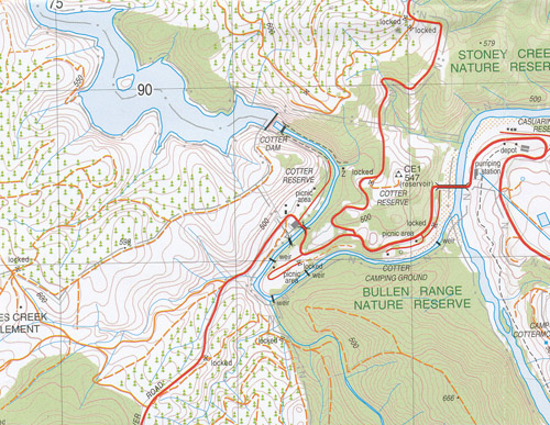
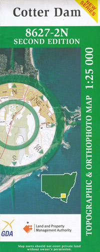
Cotter Dam 1-25,000 NSW Topographic Map
$16.95
Description:
8627-2-N Now Print on Demand
Cotter Dam 1-25,000 Scale NSW Topographical Map is used for Walking, 4WD, Fishing, Camping, Motorcycle, both On and Off Road, Gold Prospecting and for those simply going for a family weekend drive.
Topographical maps show not only Contours of the Terrain but also Walking Tracks, Sealed and Unsealed Roads, Rivers, Creeks, Lakes, Historical Point of Interest, Old Mine Sites and National and State Park areas.
 We can Now LAMINATE and fold your NSW 1-25,000 Topographical map for $12.00. Just click on the image and Add to the Trolley
This map includes the following localities: Blackfellows Flat Brindabella Mountain Brindabella Range Brindibella Mountain Brindibella Range Coree Mount Coree Cowley Devils Peak Flea Creek Coree Mount Lowells Flat Mountain Creek Mount Pabral Tumbledown Creek Webbs Ridge Webbs Spur Wombat Range Dingi Dingi Ridge Dingi Dingi Range Blue Ridge Coree Creek Black Springs Creek Blundell Hill Blundell Mount Blundells Creek Blundells Flat Bracks Hole Brookvale Brown Hill Bullen Hill Bullen Range Casuarina Sands Reserve Cliffs Creek Condor Condor Creek Condor Hill Coree Mount Cotter Dam Cotter Reserve Cotter River Croston Creek Fairvale Fastigata Creek Hardy Hill Hardy Range Huntly Lees Creek Lees Creek Camp Lees Creek Forest Mount Blundell Mount Mc Donald Murrays Corner Murrays Hill Murrumbidgee River Musk Creek Nerreman Paddys River Padovans Crossing Stromlo Stromlo Pine Forest Sugarloaf Sugarloaf Hill Swamp Creek Tarpaulin Creek Thompsons Corner Two Sticks Two Sticks Hill Uriarra Uriarra Creek Uriarra Creek (South Arm) Uriarra Hill Uriarra Pine Forest Uriarra Staton Urriarra Creek Vanitys Crossing Walker Hill Winslade Wombat Creek Picadilly Circus Pierces Creek Pierces Creek Forestry Settlement Pierces Creek Pine Forest Ranger Hill Reids Pinch Riverview Shannons Flat Shepherds Lookout Stoney Creek Stoney Creek Nature Reserve Stoney Creek Reserve Stony Creek
| Scale: | 1:25000 |
| Latitude Range: | 35 15.0 S – 35 22.5 S |
| Longitude Range: | 148 45.0 E – 149 00.0 E |
| Approx Print Size: | 0.56m X 1.11m |
| Projection: | Transverse Mercator |


