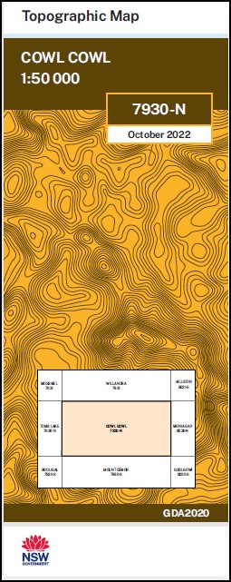
Cowl Cowl 1-50000 NSW Topographic Map
$16.95 – $28.95
Description:
Cowl Cowl 7930-N 1-50,000 scale NSW Topographical map is used for Walking, 4WD, Fishing, Camping, Motorcycle, both On and Off Road, Gold Prospecting and for those simply going for a family weekend drive.
Topographical maps show not only Contours of the Terrain but also Walking Tracks, Sealed and Unsealed Roads, Rivers, Creeks, Lakes, Historical Point of Interest, Old Mine Sites mbtg and National and State Park areas.
NOW AVAILABLE PRINT ON DEMAND
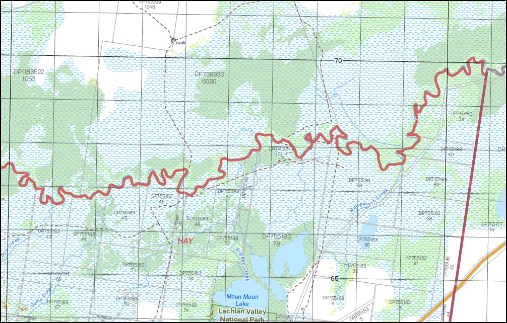
Part of the Lachlan River
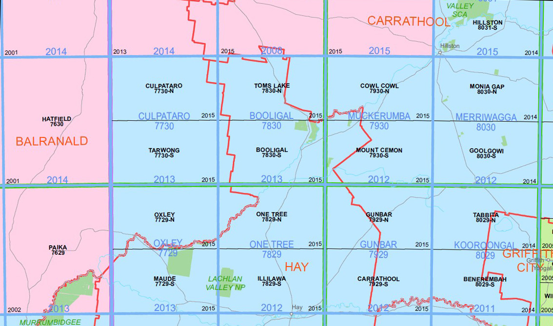
Locations within this Map
Woodlands Brooklyn Riverview Karalee Furlong Ace of Hearts Wyadra Cowl Cowl Weepool Myrtleford Talawanta Merungle Wilga Eumemering Pine Grange Thurlo Bouyaree Box Creek Caninganima Caninganima Hill Chapmans Dam Crows Nest Tank Gums Creek Ganinganima Hill Mea Mia Mea Mia North Mea Mia South Molesworth Creek Moon Moon Moon Moon Lake Moon Moon State Forest Mullion Murumbidgery Mans Waterhole Naradhun Seven Pines Well Whealbah Whealbah South Yellow Waterhole Caaba Clutha Golgothrie Ini Wogonga Saburra Cabbage Garden Creek Cowal Cowal Mount Ganinganima
| Name: | Cowl Cowl |
| Publisher: | New South Wales Government |
| Scale: | 1:50000 |
| Latitude Range: | 33° 30.0′ S – 33° 45.0′ S |
| Longitude Range: | 145° 0.0′ E – 145° 30.0′ E |
| Datum: | GDA 2020 |
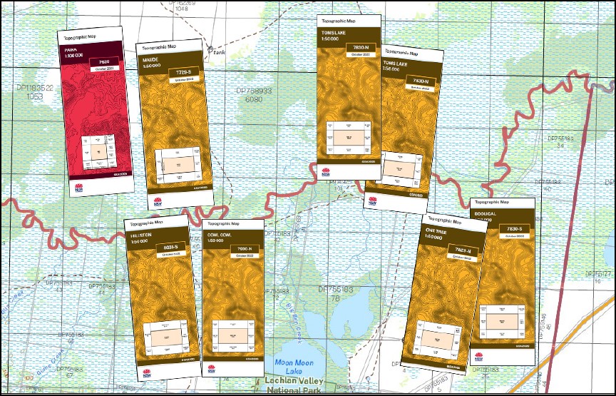
You may also like…
-
Toms Lake 1-50000 NSW Topographic Map
$16.95 – $28.95Select options This product has multiple variants. The options may be chosen on the product page -
Booligal 1-50,000 NSW Topographic Map
$16.95 – $28.95Select options This product has multiple variants. The options may be chosen on the product page -
Hillston 1-50,000 NSW Topographic Map
$16.95 – $28.95Select options This product has multiple variants. The options may be chosen on the product page -
Lachlan River 1-50,000 and 1-100,000 Topographic Map Set
$130.00 – $220.00Select options This product has multiple variants. The options may be chosen on the product page