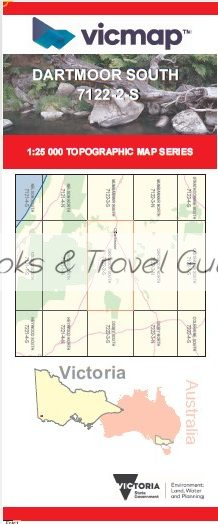
DARTMOOR SOUTH 1-25,000 Vicmap Topo Map 7122-2-S
Price range: $14.00 through $26.00
Description:
DARTMOOR SOUTH 1-25,000 Vicmap Topographic Map 7122-2-S Now Print On Demand is used for Walking, 4WD, Fishing, Camping, Motorcycle, both On and Off Road, Gold Prospecting and for those simply going for a family weekend drive.
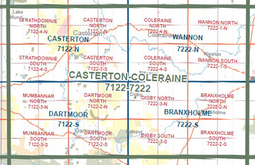
This is a new series of 1-25,000 scale maps, all sections of Victoria are now covered by these maps, including maps over the South Australian and NSW Borders.
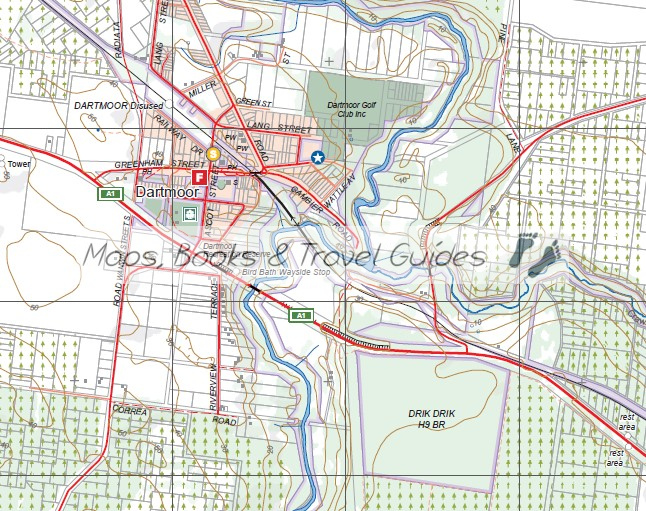
Topographical maps show not only Contours of the Terrain but Walking Tracks, Sealed and Unsealed Roads, Rivers, Creeks, Lakes, Historical Points of Interest, Old Mine Sites mbtg and National and State Park areas.
Main Features of this map includes:
Now Covers the Old 1-25,000 Series Vicmaps Dartmoor and Greenwald
Dartmoor, Glenelg River, Part of the Glenelg River, Bird Bath Wayside Stop, Bucknall Falls, LOWER GLENELG National Park, COBBOBOONEE National Park, Drik Drik, Winnap, Smokey River Caravan Park, mbtg, Winnap Station disused, Stokes Bridge, Stokes Rive, Blackfish Swamp, BURGESS SWAMP Wilderness Region, Emmerson Plantation, Bacci Creek, Seventeen Mile Crossing, Greenwald, Greenwald Station Disused, Camp Corner, Winnap State Forest, Wataepoolan State Forest, Lake Crwaford, Smokey Valley Plantation, Hotspur State Foerest, Hiscocks Crossing, Glenaulin, Lower Crawford, Crawford River, Hiscocks Crossing, Annya State Forest
You may also like…
-
Dartmoor 1-50,000 Vicmap
Price range: $12.00 through $24.00Select options This product has multiple variants. The options may be chosen on the product page -
DARTMOOR NORTH 1-25,000 Vicmap Topo Map 7122-2-N
Price range: $14.00 through $26.00Select options This product has multiple variants. The options may be chosen on the product page