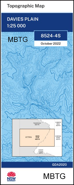
Davies Plain 1-25,000 NSW Topographic Map
$16.95 – $29.95
Description:
Davies Plain 1-25,000 NSW Topographic Map Now Print on Demand 2022 Edition
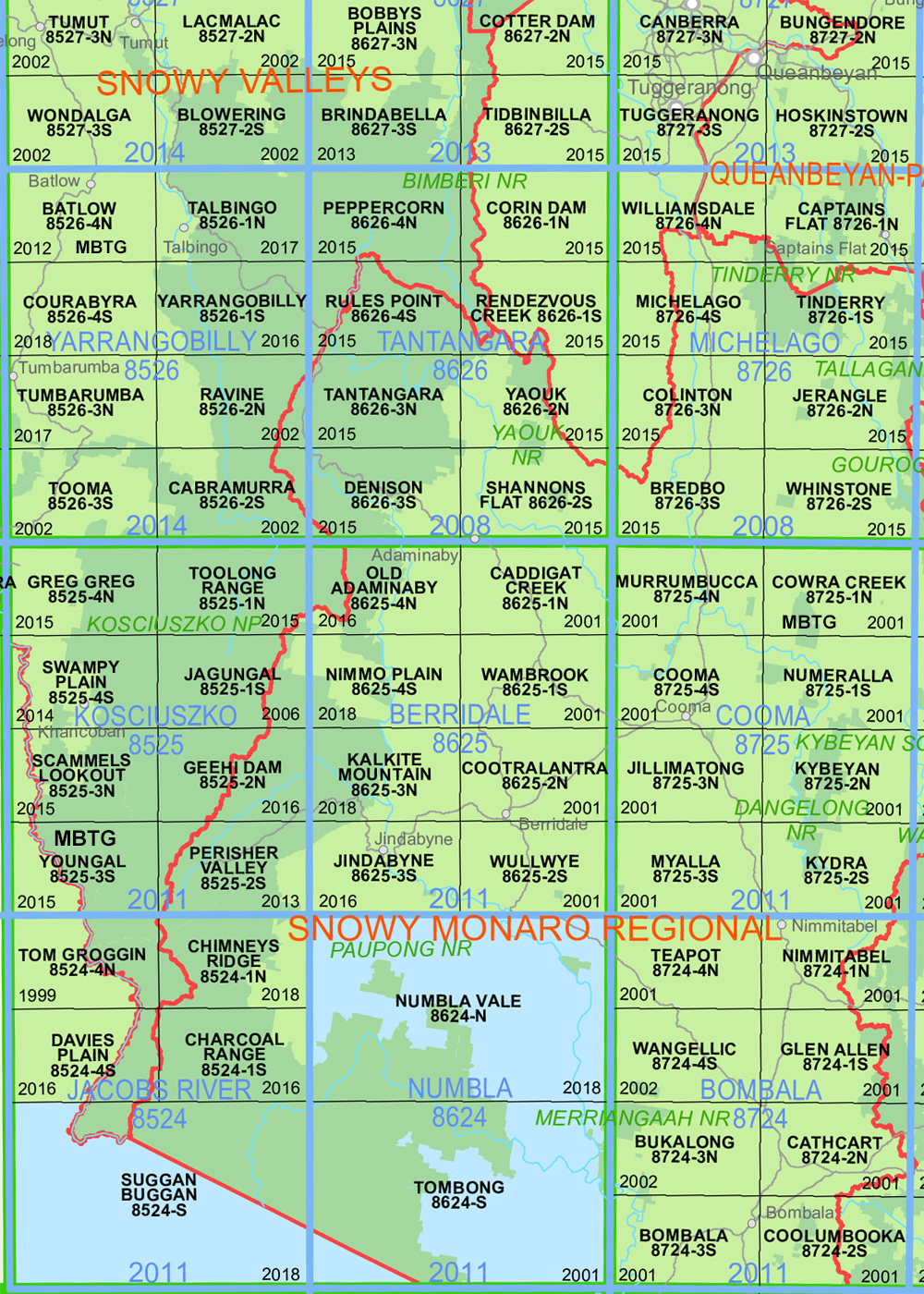
Locations within this Map
Now also available on Waterproof Plastic Paper Folded
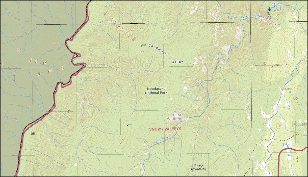
The Big Bog Cowombat Ridge Dales Creek The Little Pilot Pilot Creek Pilot or Cowombat Ridge The Pilot Quombat Ridge Tin Mine Tin Mine Creek Tin Mine Falls Twynam Pilot Wilderness Buckwong Creek Butler Creek Davies Plains Creek Davies Plain Ridge Davis Plain mbtg Dinner Creek Dockertys Point Dudley W Cornell Park Horse Flat Creek Indi Mount Hope Mount Murphy Rough Creek Sheenans Creek Tom Groggin Creek
| Name: | Davies Plain |
| Publisher: | New South Wales Government |
| Scale: | 1:25,000 |
| Latitude Range: | 36° 37.5′ S – 36° 45.0′ S |
| Longitude Range: | 148° 0.0′ E – 148° 15.0′ E |
| Datum: | GDA 2020 |
| Approx Print Size: | 0.56m X 1.11m |
| Publication Date: | 2022
GDA 2022 |
Read More
You may also like…
-
Suggan Buggan 1-50,000 NSW Topographic Map
$16.95 – $29.95Select options This product has multiple variants. The options may be chosen on the product page -
Charcoal Range 1-25,000 NSW Topographic Map
$16.95 – $29.95Select options This product has multiple variants. The options may be chosen on the product page -
Australian Alpine Walking Track Map Set 1
$390.00 – $600.00Select options This product has multiple variants. The options may be chosen on the product page -
Australian Alpine Walking Track Map Set 2
$425.00 – $625.00Select options This product has multiple variants. The options may be chosen on the product page


