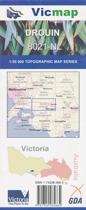
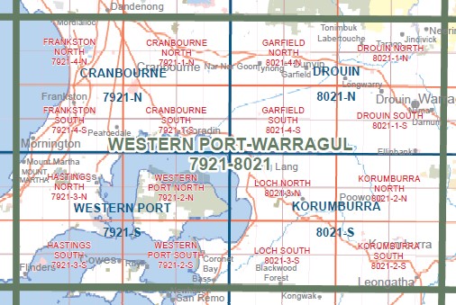
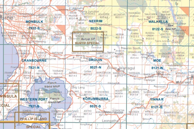
Drouin 1-50,000 Vicmap
$12.00 – $24.00
Description:
Drouin 1-50,000 scale Vicmap Topographical map 8021N is used for Walking, 4WD, Fishing, Camping, Motorcycle, both On and Off Road, Gold Prospecting and for those simply going for a family weekend drive.
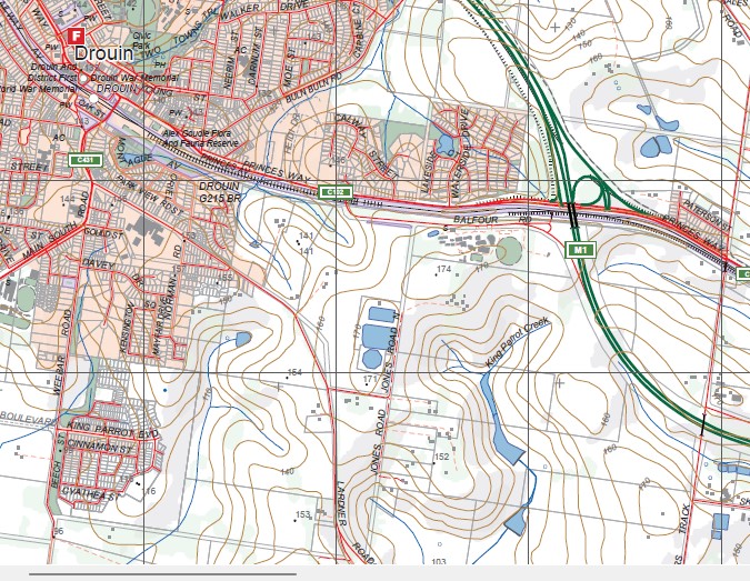
Topographical maps show not only Contours of the Terrain but Walking Tracks, Sealed and Unsealed Roads, Rivers, Creeks, Lakes, Historical Point of Interest, Old Mine Sites mbtg and National and State Park areas.
Main Features of this map include:
Labertouche, LABERTOUCHE CAVE GR, CANNIBAL CREEK SSR, Settlers Rest Caravan Park, JINDIVICK, Longwarry, Longwarry North, TARAGO RIVER ROBIN HOOD SSR, Forest Road Trail, Bike Unloading And Camping Area, Labertouche State Forest, Brandy Creek, Rokeby, most of Tarago Reservoir, Neerim South, Bravington, Buln Buln, Neerim South Caravan Park, mbtg, Warragul, Athlone, Drouin South, Minnieburn Creek, Warragul South, Lardner, Ellinbank, Gainsborough, Nilma, Lillico, Darnum, Cloverlea
Garfield, Pakenham eastern edge, Pakenham Upper, Nar Nar Goon, MOUNT ARARAT, Nar Nar Goon North, Cannibal Creek Track, Maryknoll, Tynong North, Tynong, Cornucopia, Alcheringa, MOUNT WEATHERHEAD, Diamond Creek Reference Area (no public access), MOUNT TOWT, Garfield North, CANNIBAL Hill, Gumbuya Park, Bunyip, Bunyip North, Tonimbuk, CANNIBAL CREEK SSR, mbtg, Pakenham South, Koo Wee Rup North, Monomeith, Caldermeade, Bayles, Cora Lynn, Catani, Yannathan Upper, Yannathan, Vervale, Heath Hill, Iona, Modella


