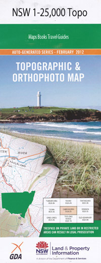
Forster 1-25,000 NSW Topographic Map
$16.95 – $31.95
Description:
9433-4-S Print on Demand
Forster Green Point Bachelor Belton Reserve Bennetts Head Big Island Breckenridge Channel Cape Hawke Cape Hawke Harbour Cape Hawke Lookout Collendina Reserve Colliton Garden Crescent Reserve Dunns Creek Elouera Reserve Flat Island Forster Beach Forster Cemetery Forster High School Forster Post Office Forster Public School Forster Sports Centre Forster Towers Friendship Reserve Godwin Island Hadleys Island Hawke Curlew Island Devil Rock Fern Island Flagstaff Lookout Forster Central School Golden Island Grassy Island Green Hill Point Kangaroo Island Latitude Rock Latitude Rocks Leon Island Little Island Little Snake Island Lobster Pot Beach Mcbrides Beach Mather Island Miles Island One Mile Beach Oxley Park Palm Grove Park Pebbley Beach Pebbly Beach Pipers Bay Pipers Creek Progress Reserve Roebuck Reserve Second Head Shepherd Island Sirius Reserve Snake Island Springboard Island Tahiti Island The Tanks Tern Island Tonys Creek Tonys Gully Tonys Point Island Tuncurry Public School Tuncurry Village Of Victor Reserve Wallis Gardens Wallis Point Island Wyuma Reserve Yahoo Island Yahoo Island Nature Reserve Dolphin Reserve Burgess Beach Anglers Paradise Forster Heights Park John Wright Park John Holland Park Kenrose Reserve Casuarina Reserve Ehlefeldt Reserve Hells Gate Shepard Island Wallis Lake
| Name: | Forster |
| Publisher: | New South Wales Government |
| Scale: | 1:25000 |
| Latitude Range: | 32° 7.5′ S – 32° 15.0′ S |
| Longitude Range: | 152° 30.0′ E – 152° 45.0′ E |
| Datum: | GDA 94 |
| Approx Print Size: | 0.56m X 1.11m |

