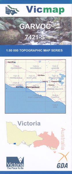
Garvoc 1-50,000 Vicmap
$12.00 – $24.00
Description:
Garvoc 1-50,000 scale Vicmap Topographical map 7421S is used for Walking, 4WD, Fishing, Camping, Motorcycle, both On and Off Road, Gold Prospecting and for those simply going for a family weekend drive.
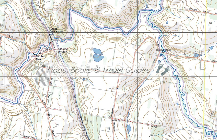
Topographical maps show not only Contours of the Terrain but Walking Tracks, Sealed and Unsealed Roads, Rivers, Creeks, Lakes, Historical Points of Interest, Old Mine Sites mbtg and National and State Park areas.
Main Features of this map includes:
Warrnambool, Garvoc, Mumblin, Yaloak Swamp, Keayang Swamp, Dixie, Lake Mumblin, Elingamite Creek, Staughton Hill, Ayresford Bridge, Spiers Bridge, Laang, Taroon, Ecklin Swamp, Crawleys Swamp, Lake Elingamite, Thorburns Bridge, mbtg, Timboon, Nullawarre, Nullawarre North, Naringal East, Nirranda East, Niranda, Ayrford, Ecklin South, Glenfyne, Coulahans Bridge, Thornburns Bridge, Ralph Illidge Sanctuary, mbtg, Brucknell Creek, Peter Harris Bridge, Mcnaughtons Bridge, Moorhouse Bridge, Ecklin South Swamp, Ballistellos Bridge, Brucknell Creek, mbtg, Timboon-Camperdown Rail Trail, Digneys Bridge, Curdies River, Curdies Creek Bridge, Abecketts Creek, Fenton Creek, Whiskey Creek Bridge, Buckley Creek
Panmure, Goods Creek, Iden Bridge, Lyall Creek Bridge, Bryan Olynn Bridge, Craigieburn Culvert, Mount Warrnambool, Tank Hill Reservoir, Lake Munderong, Warrumyea Bridge, mbtg, Purnim West, Grassmere, Manifold Creek, Grassmere Junction, Bushfield, Sawpit Creek, Wangoom, Lake Wangoom, Hopkins Falls, Cudgee, Brucknell Creek, Redford Bridge, Maam Wetlands, Warrnambool, Mahoney Culvert, mbtg, Warrnambool, Granny’s Grave, Hopkins Point, Sherwood Park, Maam Wetlands, Allansford, Allans Forest, Naringal, Mahoney Culvert, Brucknell Creek, Wright Bridge, Mepunga West, Tooram Stones, Hopkins Lookout, Point Ritchie, mbtg, Logan Beach Whale Nursey, Lady Bay, Lake Gillear WR, Bay of Islands CP, Killeen Bridge, Mepunga East, Nullawarre, Mepunga, Mepung LR, Viviennes Lookout, Dog Trap Bay


