Aire 1-50,000 Vicmap
Price range: $12.00 through $24.00
Description:
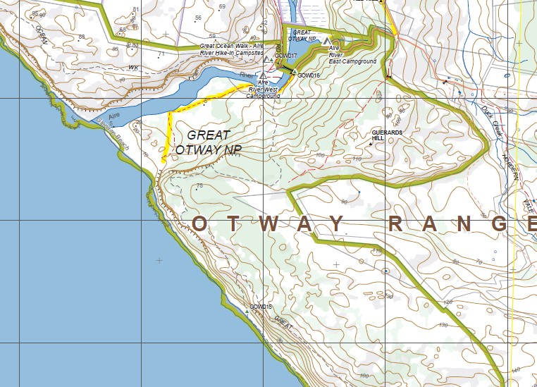
Aire 1-50,000 scale Vicmap Topographical map 7520S is used for Walking, 4WD, Fishing, Camping, Motorcycle, both On and Off Road, Gold Prospecting and for those simply going for a family weekend drive.
Topographical maps show not only Contours of the Terrain but Walking Tracks, Sealed and Unsealed Roads, Rivers, Creeks, Lakes, Historical Point of Interest, Old Mine Sites mbtgand National and State Park areas.
Main Features of this map includes:
Western side of the Otways National Park from Cape Otway
Lake Craven
Camp Hill
Johanna
Wattle Hill
This map is mainly Ocean as seen on the Cover index above
ISBN 9781742084015
Read More
You may also like…
-
Otway 1-50,000 Vicmap
Price range: $12.00 through $24.00Select options This product has multiple variants. The options may be chosen on the product page -
Lorne 1-50,000 Vicmap
Price range: $12.00 through $24.00Select options This product has multiple variants. The options may be chosen on the product page