Gembrook Powelltown Forest Activities Map Rooftop
Description:
Now on the back of Yarra Valley Rooftop
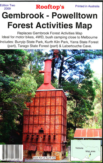
This map reflects current track access as of January 2009 and covers from Powelltown in the North, Labertouche Caves in the East, Tonimbuk in the South and Gembrook in the West.
Shown on the map are picnic areas, camping grounds, park/forest boundaries, views/lookout and distances.
Mt.Feathertop / Hotham Activities map on the back.
Scale 1-40,000
Read More
You may also like…
-
Neerim 1-50,000 Vicmap
Price range: $12.00 through $26.00Select options This product has multiple variants. The options may be chosen on the product page -
Warburton Trail 1-25,000 Scale Topographic Maps Vicmap
Price range: $24.00 through $48.00Select options This product has multiple variants. The options may be chosen on the product page -
Gembrook North 1-25,000 Vicmap Topographic Map
Price range: $12.00 through $26.00Select options This product has multiple variants. The options may be chosen on the product page -
Gembrook South 1-25,000 Vicmap Topographic Map
Price range: $14.00 through $26.00Select options This product has multiple variants. The options may be chosen on the product page