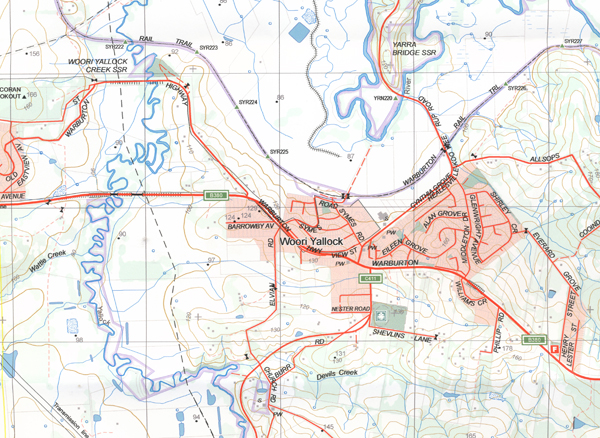
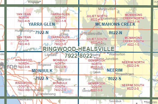
Gembrook North 1-25,000 Vicmap Topographic Map
$12.00 – $24.00
Description:
Gembrook North 1-25,000 Vicmap Topographic Map 80223N
MAIN FEATURES
Covers the old series 1-25,000 maps Gladysdale and Woori Yallock which are out of print
From Woori Yallock to Warburton to Powelltown
Part of the Warburton Trail
Launching Place, Yarra Junction, Warburton, Hoddles Creek, Yellingbo, Beenak, Top of Kirth Kiln, Gladysdale, Big Pats Creek, Britannia Creek Cave, Part of the Yarra State Park, Wesburn, Millgrove, Killara, mbtg, Woori Yallock, SHEEP STATION CREEK NCA, Nangana, LUSATIA PARK ROAD BR, LONE STAR CREEK BR, HODDLES CREEK BR, Don Valley, mbtg, Millgrove Outdoor Educationa Centre – Melbourne High, Mount Thule, Milner Hill, Three Bridges, BRITTANIA CREEK CAVE GR, Mount Little Joe, Old Warburton, MOUNT TUGWELL, Gilderoy, MOUNT MYRTALIA, Ezard Spur, MOUNT BRIDE


