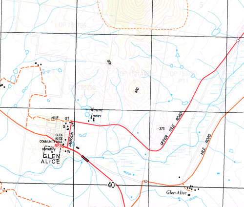
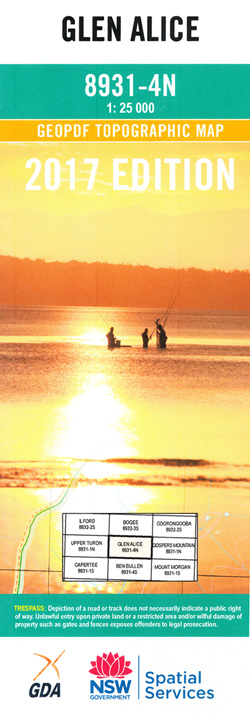
Glen Alice 1-25,000 NSW Topographic Map
$16.95 – $31.95
Description:
8931-4-N Print on Demand
This map includes the following localities: Glenolan Laidley Warrangee Park Glencoe Port Macquarie Wongara Tyar Oakwood Eurella Yarrawonga Myalla Mount Innes Keira Oakydale Coolami Warrangee Glenview Umbiella Glen Alice Glenowlan Huntingdale Kurrajong Plains Lindfield Carinya The Crossing Conoblas The Kurrajongs The Gullies Airly Airly Turret Mount Airly Blacks Corner Bogee River Capertee Angle Capertee River Capertee Valley Cottage Rock Deadmans Creek Emu Swamp Emu Swamp Creek Gap Creek Genowlan Genowlan Creek Genowlan Mountain Genowlan Point Glen Alice Cemetery Glen Alice Public School Mount Gundangaroo Point Hatteras Cafe Hatteras Innes Mouth or Numietta Limestone Creek Limestone Gully Little Oaky Creek Malcolms Gully Molong Creek Morundurey Oaky Creek Paling Yard Creek Sir Johns Mouth Sir Johns Point The Angle Torbane Creek Ulumbra Creek Village of Airly Wallaby Creek Wallaby Gully Wando Bogee State Forest Gundangaroo
| Scale: | 1:25000 |
| Latitude Range: | 33 00.0 S – 33 07.5 S |
| Longitude Range: | 150 00.0 E – 150 15.0 E |
| Approx Print Size: | 0.56m X 1.11m |
| Projection: | Transverse Mercator |


