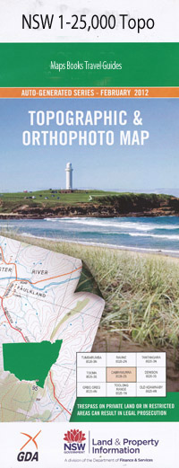
Gloucester 1-25,000 NSW Topographic Map
$16.95 – $31.95
Description:
9233-1-N
Locations within this Map
Matcham Park Bella Vista Glen Ayr Mansfield Raelands Bindera Never Never Siesta Fairview Glen Donald Wilford Riverview Cut Hill Boawilla Willandra Jo-Doth Marengo Glenrowan Rochelle Cedar Rocks Idyllwyle Avonview Wooralook Glenavon Cloverdale Glenview Gloucester Avon Bald Knob Bend Creek Berrico Berrico Creek Berrico Junction Berrico Range Berrico Ridge Black Jacks Creek Black Jacks Gully Bindera Island Borham Creek Broad Creek Broad Gully Buckets Gap Buggs Creek Captain Cook Park Cockadilly Mountain Cockadilly Ridge Cranky George Creek Etouera Gully Faulkland Fingerboard Forbesdale Gloucester Cemetery Gloucester High School Gloucester Post Office Gloucester Public School Gold Creek Heatherdale Junction Creek Cockadilly Range Cut-Hill Creek Gloucester Secondary School Heatherdale Public School Landers Hill Landers Mountain Lynrose Mackays Creek Mechanics Mountain Mine Creek Neeworra Creek Prince Charlie Mountain Rocky Crossing Roseville St Clements Historic Park Sandy Creek Stratford Stratford Public School Swamp Creek The Gap The Junction Thunderbolts Way Trapyard Creek Warring Gully Westleys Knob Dog Trap Creek Burkes Hump Carsonville Stratford Railway Station Berrico Railway Station Rocky Crossing Reserve Copeland Heritage Reserve Stratford Recreation Reserve Copeland Avon River Oakey Creek Oaky Creek Rocky Hill
| Scale: | 1:25000 |
| Latitude Range: | 32° 00.0′ S – 32° 7.5′ S |
| Longitude Range: | 151° 45.0′ E – 152° 0.0′ E |
| Datum: | GDA 94 |
| Approx Print Size: | 0.56m X 1.11m |

