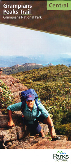
Grampians Peaks Trail Map Central
Price range: $9.95 through $24.95
Description:
Grampians Peak Trail Central Map
Description
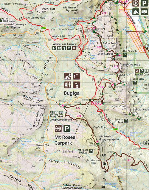
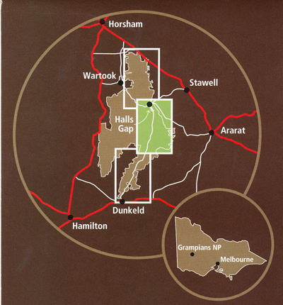
The Grampians Peak Trail is Victoria’s newest long-distance trail. Established by Parks Victoria, the trail starts in the north of the Grampians at Mt Zero and finishes 164kms later in Dunkeld. Designed as a 12-13 day trip, it can be done in sections. This map covers the central section at 1:50,000 from Halls Gap to Yarram Gap Road. Well presented it covers all you need to know while on the walk. Other sections available are the North and South maps. All three are available in the Grampians Peak Trail Map Pack.
- 1st Edition
- Scale 1:50,000
- Full topographic map
- Shows Campsites, Access Points, facilities and more
- Halls Gap to Yarram Gap Road
- Informative text about the walk
- Descriptions of side trips
- Elevation Map
- Also available North & South Maps and the Grampians Peak Trail Map Pack
- ISBN 9780645265217
- Halls Gap, Buggia, Mt Rosea Carpark, Redman Road, Duwul, Reed Lookout, Mt William Carpark, The Basin, Tunnel Walk Carpark, Pomonal, Brambuk Cultural Centre, Sundail Carpark, Hawks Carpark, The Pinnacle, Wonderland Carpark, The Balconies, Barri Yalug, Bovine Hills, Lake Fyan, mbtg, Durd Durd, Kalyma Campground, Boundary Gap, First Wonnon Campground, Mafeking Picnic Area, Yarram, Jimmy Creek Campground, Yarram Gap Road, Mt Burchell, Mt Nelson, Mt Lang, Mt Fredrick, Mt Stanley, Stockyard Saddle, Murray Hill
Read More
You may also like…
-
Grampians Peaks Trail Map South
Price range: $9.95 through $24.95Select options This product has multiple variants. The options may be chosen on the product page -
Grampians Peaks Trail Map Set 3 Maps
Price range: $26.95 through $50.95Select options This product has multiple variants. The options may be chosen on the product page -
Best Walks of the Gariwerd Grampians National Park
Select options This product has multiple variants. The options may be chosen on the product page