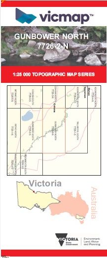
GUNBOWER NORTH 1-25,000 Vicmap Topographic Map 7726-2-N
$12.00 – $24.00
Description:
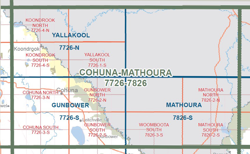
Gunbower North 1-25,000 Vicmap topographical map 77262n is used for Walking, 4WD, Fishing, Camping, Motorcycle, both On and Off Road, Gold Prospecting and for those simply going for a family weekend drive. This is a new series of 1-25,000 scale maps, only certain sections of Victoria are covered by these maps.
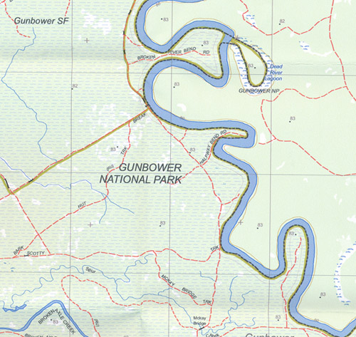
Topographical maps show not only Contours of the Terrain but Walking Tracks, Sealed and Unsealed Roads, Rivers, Creeks, Lakes, Historical Points of Interest, Old Mine Sites mbtg and National and State Park areas.
Main Features of this map includes:
Replaces the old series Gunbower North 1-25,000 Vicmap, same scale and area covered
North Part of Gunbower National Park and part of the Murray River
Gunbower National Park, Gunbower Island, Thompsons Track Camping Area 1, 2, 3 and 4, Peter Creek Camping Area 1 and 2, Wee Wee Rup Camping Area, Doc Grahams Hut Camping Area, Corduroy Swamp and Loop Track, Log Hauler Track, Gunbower Creek, Daltons Bridge, Cohuna Channel, Keely, Wattle Track Camping Area 1, 2 and 3, Cemetery Bend West Camping Area 1 and 2, Cemetery Bend Camping Area 1, 2, 3, 4 and 5, Mcclures Bend Camping Area 5, Burkes Bridge, mbtg, Wee Wee Rup, LEITCHVILLE BR, Burnt Bridge, Robertson Track Camping Area, Barton Track Camping Area 1 and 2, Nursery Bend Camping Areas (numerous), Suicide Bridge, TICKELLS Creek, Broken River Bend Camping Area 1, 2, 3 and 4, 82 Bend Camping Area 1 and 2, Batemans Track Camping Area, Gravel Bend Camping Area, Sandbar Bend Camping Area 1 and 2, Halfway Bend Camping Area 1 and 2, Scottys Bend Camping Area, Mckay Bridge, Munzel Corner, Kangaroo Track Camping Area, Kangaroo Track Camping Area 1 and 2, Kate Malone Bend Camping Area 1, 2 and 3, Bonnemans Bend Site 1 and 2, Dead River Lagoon


