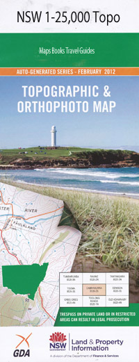
Jindabyne 1-25,000 NSW Topographic Map
Price range: $16.95 through $31.95
Description:
8625-3-S Print on Demand
Jindabyne Lakewood Estate Tyrolean Andrews Lookout Abington Beloka Beloka Creek Beloka Ridge Blackfellows Hill Boundary Gully Casleys Springs Creek Clyde Cobbin Cobbin Creek Colorado Point Copper Tom Reach Crackenback Crackenback Peak Crackenback Swamp Cub Island Curiosity Rocks Daley Creek Devils Hole Creek Gibbagunyah Harry Lees Plain Hatchery Bay Hayshed Bay Hollands Crossing Jindabyne Cemetery Jindabyne Dam Lake Jindabyne Jinderboine Jinderboine Hill Cobbon Creek Crackewrack River Devils Hole Jinberboine Creek Kara Creek Lees Creek Letter Creek Lewis Spring Lion Island Mcevoy Island Mill Creek Mill Creek Inlet Mill Inlet Minnehaha Point Moonbah Moonbah Public School The Morass Mowamba Mowenbah Old Hut Creek Paddys Creek Paddys Gully Pools Creek Robertsons Crossing Round Hill Rushes Bay Rushes Creek Rushey Flat Rushs Bay Sandy Beach South Arm Steels Creek Stinky Bay Sturgeons Creek Sugarloaf Creek Teatree Creek The Devils Creek The Haven Thredbo State Forest Tigers Hill Titree Creek Village of Jindabyne Widows Creek Widows Creek Inlet Widows Inlet Willow Bay Wollindibby Inlet Wollondibby Inlet Devils Waterhole Snowy Alpine Way East Jindabyne Wollondibby Valley Copper Tom Avonside Jindabyne Central School Jindabyne Reservoir Wollondibby Creek Mowamba River Boloka Creek Glen Miln Moonbar
| Name: | Jindabyne |
| Publisher: | New South Wales Government |
| Scale: | 1:25000 |
| Latitude Range: | 36° 22.5′ S – 36° 30.0′ S |
| Longitude Range: | 148° 30.0′ E – 148° 45.0′ E |
| Datum: | GDA 94 |
| Approx Print Size: | 0.56m X 1.11m |