Kingstown 1-25,000 NSW Topographic Map
$16.95 – $31.95
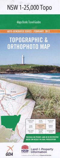
Description:
9136-4-N Print on Demand
Locations within this Map
Wingala Woodleigh Boonah Bald Rock Merilba Bellevue Park Glenby Spring Creek Rocky Glen Romani Rowena Towri Strathalbyn Comara Stone Hut Locheel Scots Glen Brushgrove Athlone Wonga Oakleigh Back Creek Bald Rock Mountain Baldwin Blackhole Creek Boundary Creek Flaggy Mountain Head Station Creek Kennedys Hill Log Creek Nuandle Ponds Creek Pringles Gully Roumalla Roumalla Creek Round Mountain Sandy Creek Teatree Creek Retreat Stonybatter Creek Kingstown Dumaresq Creek South Molong Creek
| Name: | Kingstown |
| Publisher: | New South Wales Government |
| Scale: | 1:25000 |
| Latitude Range: | 30° 30.0′ S – 30° 37.5′ S |
| Longitude Range: | 151° 0.0′ E – 151° 15.0′ E |
| Datum: | GDA 94 |
| Approx Print Size: | 0.56m X 1.11m |
Read More