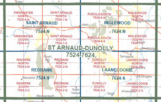
LAANECOORIE NORTH 1-25,000 Vicmap Topographic Map 7624-2-N
$14.00 – $26.00
Description:
LAANECOORIE NORTH 1-25,000 Vicmap Topographic Map 76242N Now Print On Demand is used for Walking, 4WD, Fishing, Camping, Motorcycle, both On and Off Road, Gold Prospecting and for those simply going for a family weekend drive.
This is a new series of 1-25,000 scale maps, all of Victoria is now covered by these maps, including maps over the South Australian and NSW Borders.
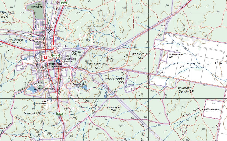
Topographical maps show not only Contours of the Terrain but Walking Tracks, Sealed and Unsealed Roads, Rivers, Creeks, Lakes, Historical Points of Interest, Old Mine Sites, mbtg and National and State Park areas.
Main Features of this map includes:
Now also covers the old series 1-25,00 Vicmap Laanecoorie North
Laanecorrie, Tarnagulla, Poseidon, Waanyarra, Eastville, Woodstock West, part of Murphys Creek, Dead Log Creek, part of Bullabul Creek, Waanyarra NCR, Llanelly SFR, Waanyarra-Dunolly SF, Tarnagulla Mine, mbtg, part of Harvest Home SF, Five Mile Dam, Robyns Track, Curley Track, Weed Track, Nuggety Gully, Nuggety Track, Tarngulla Track, Loopy Track, Sarm Track, Lizard Track, Chisholms Track, Noose Track, Murderers Hill, Canns Track, Janevale Monier Bridge HR, mbtg, Laanecorrie Reservoir, Wet Gully Walking Track, The Shoots, Shoots Track, Peeping Tom Track, Pick Track, mbtg, Sammy Track, Laanecorrie Cycle Track, part of Bet Bet Creek, Fremantles Brigde, part of the Loddon River, Wild Duck Dam, Wild Dogs Diggings HR.


