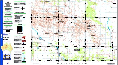
Lander River 1-250,000 Topographic Map
$15.95 – $30.95
Description:
Print on Demand
Locations within this Map
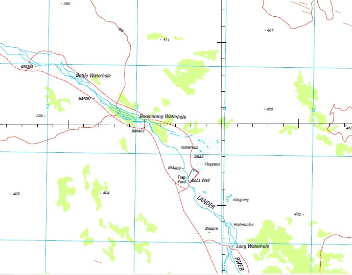
Austerity Well Bobs Well Boomerang Waterhole Bottle Waterhole Curlew Waterhole Dingo Waterhole Hanson River Jarra Jarra Jarrah Jarrah Range Jump Up Yard Lander River Little Sandy Creek Long Waterhole Mount Rawlins Parklands Bore Partnparinji Trap Paddock Trap Yard U 747 U 749 End Well Giant Well Wattle Well Wattle Native Well Fulge Well Blowhorn Well Blowhorn Native Well Circle Well Circle Native Well Florries Well Waldrons Hill
| Name: | Lander River |
| Publisher: | Geoscience Australia (Australian Government) |
| Scale: | 1:250000 |
| Latitude Range: | 20° 0.0′ S – 21° 0.0′ S |
| Longitude Range: | 132° 0.0′ E – 133° 30.0′ E |
| Projection / Datum: | Universal Transverse Mercator, GDA94 |
| Approx Print Size: | 0.44m X 0.67m |
| Publication Date: | 1-Jun-02 |
Read More


