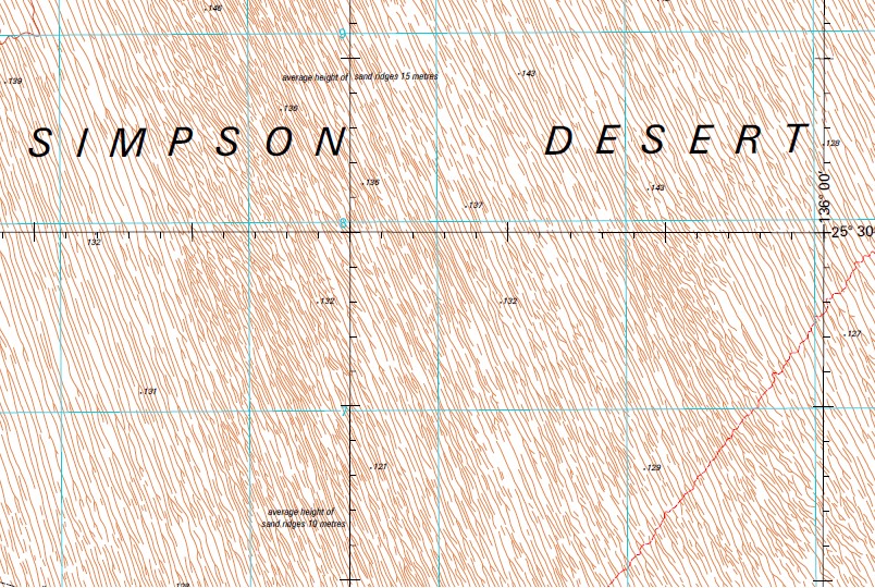
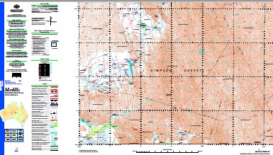
McDills 1-250,000 Topographic Map
$15.95 – $30.95
Description:
Print on Demand
Part of the Madigan Line, the Madigan Line isn’t named on the map
Alua Dam Anacoora Bore Anacoora Hill Andado Andado Airfield Andado Swamp Aranlabuka Swamp Bank Dam Birthday Bore Boundary Bore Casuarina Dam Casuarina Swamp Centenary Bore Coglin Creek Dakota Bore Dakota Hill East Bore Emu Hole Dam Finke River Halfway Dam Hubbard Hill Indemina Bore Indinda Swamp Indinda Well Intalpa Dam Intalpa Lake Lightning Swamp Dam Mac Clark Acacia Peuce Convservation Reserve Mayfield Bore Mayfield Swamp Mc Dills Bore Mc Dills No1 Bore Mc Dills Well Middle Camp Dam Moolta Hills Mount Daer Mount Day Mount Etingimbra Mount Peebles Mount Wilyunpa North Bore Nuckua Soak Old Andado Peebles Bore Peebles Creek Perry Ponds Riecks Dam Sharpes Grave Shemmedys Bore South Well Bore Taylors Claypan Dam Three Ways Bore Tonys Dam Wagon Claypan Dam Walla Hills West Bore Whitewood Bore Wilyunpa Bore Wilyunpa Waterhole Yalura Hill Yalura Well Poeppel Line Australia Commonwealth of Australia Aranlabulca Swamp Andado Station McDills Enara Well Penunga Well Finke Well South Well Mayfields Swamp Mount Anacoora McDills Well Mount Etingambra Mount Wilyumpa Bottom Well
| Name: | Mcdills |
| Publisher: | Geoscience Australia (Australian Government) |
| Scale: | 1:250000 |
| Latitude Range: | 25° 0.0′ S – 26° 0.0′ S |
| Longitude Range: | 135° 0.0′ E – 136° 30.0′ E |
| Projection / Datum: | Universal Transverse Mercator, GDA94 |
| Approx Print Size: | 0.44m X 0.67m |
| Publication Date: | 1-Jun-01 |


