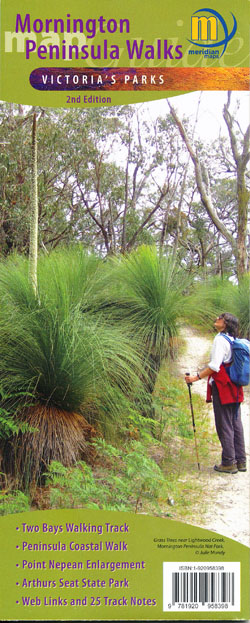


Mornington Peninsula Walks Map Meridian Edition 2
Price range: $11.95 through $21.95
Description:
Meridian Maps Mornington Peninsula Walks Map Guide 2nd Edition
Double-sided multi-scaled map of Mornington Peninsula National Park, Point Nepean and Arthurs Seat State Park. Covers the entire Two-Bays Walking Track from Dromana to Cape Schanck and The Coastal Walk from Cape Schanck to Portsea.
Shows all tourist sites, wineries, picnic grounds and walking tracks, in and around the parks, 25 Walking Track notes in the parks and reserves plus information on the coastal formations, history and development of parks compliments the map. Ideal for bushwalkers, day trippers and holidaymakers.
Rosebud, Dromana, Red Hill Arthurs Seat, Sorrento, Rye, Tootagrook, Safety Beach, Cape Schank
- Scales 1:20,000 and 1:25,000 Maps
- New Edition 2023
- All new mapping
- Two-Bays Walking Track
- The Coastal Walk
- Mornington Peninsula National Park
- Point Nepean National Park
- Arthurs Seat State Park
- Track notes to 25 walks
- Historical & Tourist Information
- Map size 594mm(W) x 750mm(H) flat
- ISBN: 9781920958398
- ISBN: 9781920958503
Read More
You may also like…
-
Rosebud 1-50,000 Vicmap
Price range: $12.00 through $24.00Select options This product has multiple variants. The options may be chosen on the product page -
SORRENTO NORTH 1-25,000 Vicmap Topographic Map 7821-3-N
Price range: $14.00 through $26.00Select options This product has multiple variants. The options may be chosen on the product page -
The Peninsula Spec Bellarine Mornington 1-50,000
Price range: $12.00 through $24.00Select options This product has multiple variants. The options may be chosen on the product page