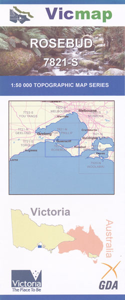
Rosebud 1-50,000 Vicmap
Price range: $12.00 through $24.00
Description:
Rosebud 1-50,000 scale Vicmap Topographical map 7821S is used for Walking, 4WD, Fishing, Camping, Motorcycle, both On and Off Road, Gold Prospecting and for those simply going for a family weekend drive.
Topographical maps show not only Contours of the Terrain but Walking Tracks, Sealed and Unsealed Roads, Rivers, Creeks, Lakes, Historical Points of Interest, Old Mine Sites and National and State Park areas.
Main Features of this map includes:
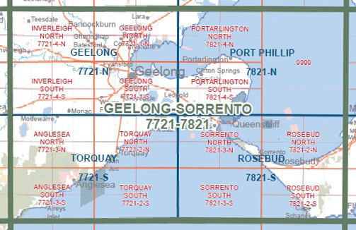
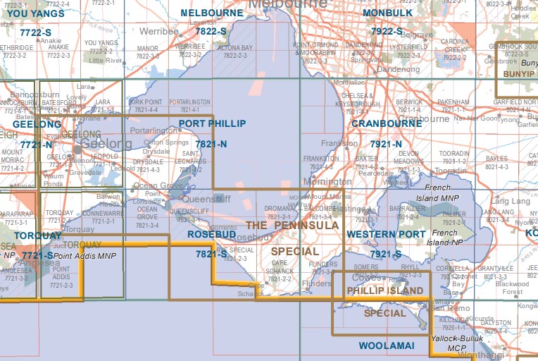
Covering the Mornington Peninsula from Mt Martha to the Heads and across the Bay to Ocean Grove and Queenscliff
Small inset map of Mud Island. Rosebud, Balcombe Point, Martha Cliff, Mount Martha, Martha Point, Dromana Pier, Bald Hill Creek, Sorrento Pier, St Pauls, The Dog Head, Elwes Road, Blairgowrie, White Cliffs, Pelly Point, Spray Point, Rye Pier, Capel Sound, Arthurs Seat SP, Franklin Point, Murrays Lookout, Kings Waterfall, McLarens Dam, McKellar Walk Circuit, Two Bays Walking Track, Koreen Point, Bridgewater Bay. Elwers Road, mbtg, Rye, Tootgarook, Koreen Point, Bridgewater Bay, The Bridge, Glenn Point, Dimmicks Beach, Henry Wilson Drive Wetland, Betty Clift Bushland Reserve, Arthurs Seat SP, Waterfall Creek, Goolgowie Bushland Reserve, Murray Anderson Creek, Splitters Creek, mbtg, Manton Creek, Main Ridge, Peninsula Gardens Bushland Reserve, Chinamans Creek, Orr Point, Rye Ocean Beach, St Andrews Beach, Fingal, Boneo, Mornington Peninsula NP, mbtg, Main Ridge Flora Reserve, Manton Creek South Branch, Flinders NFR, Mount Pleasant, Cotton Tree Creek, Mush Creek, Boag Rocks, Gunnamatta, Long Point Reserve, Lightwood Camping Area, Long Point Walking Link, Long Point Circuit, Summer Hill, mbtg, Blackberry Corner, Devils Punch Bowl, The Pinnacles, Goose Gully, Fargeet Creek, Corkscrew Hill, Meakin, Cape Schanck, Pulpit Rock, Cape Schanck Lighthouse, Burrabong Creek, Elephant Rock, Picnic Point, The Arch, The Blowhole, The Pinnacles
Lake Connewarre Swamp & Lake Connewarre WR, Barwon River, Blue Lake, Lonsdale Lake WR, Swan Bay Crown Land, Burnt Point, Queenscliffe, Mangrove Island, Rabbit Island, Queenscliffe Harbour Precinct Reserve, Popes Eye, Queenscliffe White Lighthouse, mbtg, Queenscliffe Black Lighthouse, Queenscliffe Lookout, Point Lonsdale, Lake Victoria, Point Lonsdale Jetty, Lorne – Queenscliffe Coast Res, William Buckley Bridge, Raafs Beach, Mount Colite, Barwon Bluff MS, Point Lonsdale Lighthouse, Point Lonsdale Reef, Point Nepean, mbtg, Nepean Bay, Pearce Hill, Coles Track, Observatory Point, Cheviot Hill, Butlers Track, Ticonderoga Bay, Police Point, Point Franklin, Mount Levy, Weeroona Bay, Collins Bay, Point Macarthur, Point King, Sorrento Pier, Portea Surf Beach, Sorrento, St Pauls, The Dogs Head, Jubliee Point, Mount Kerford, Mount Levy, Pelly Point, Spray Point.
You may also like…
-
ROSEBUD SOUTH 1-25,000 Vicmap Topographic Map 7821-2-S
Price range: $14.00 through $26.00Select options This product has multiple variants. The options may be chosen on the product page -
Port Phillip 1-50,000 Vicmap
Price range: $12.00 through $24.00Select options This product has multiple variants. The options may be chosen on the product page -
Western Port 1-50,000 Vicmap
Price range: $14.00 through $26.00Select options This product has multiple variants. The options may be chosen on the product page -
Mornington Peninsula Paper & Laminated Meridian
Price range: $19.95 through $36.95Select options This product has multiple variants. The options may be chosen on the product page -
Torquay 1-50,000 Vicmap Topographical Map 7721-S
Price range: $14.00 through $26.00Select options This product has multiple variants. The options may be chosen on the product page -
The Peninsula Spec Bellarine Mornington 1-50,000
Price range: $12.00 through $24.00Select options This product has multiple variants. The options may be chosen on the product page -
ROSEBUD NORTH 1-25,000 Vicmap Topographic Map 7821-2-N
Price range: $14.00 through $26.00Select options This product has multiple variants. The options may be chosen on the product page -
SORRENTO NORTH 1-25,000 Vicmap Topographic Map 7821-3-N
Price range: $14.00 through $26.00Select options This product has multiple variants. The options may be chosen on the product page