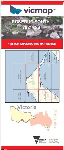
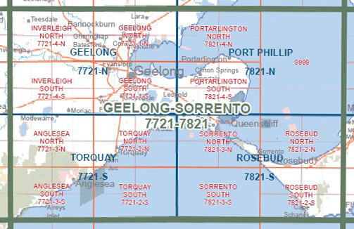
ROSEBUD SOUTH 1-25,000 Vicmap Topographic Map 7821-2-S
$14.00 – $26.00
Description:
ROSEBUD SOUTH 1-25,000 Vicmap Topographic Map 78212S Now Print On Demand is used for Walking, 4WD, Fishing, Camping, Motorcycle, both On and Off Road, Gold Prospecting and for those simply going for a family weekend drive.
This is a new series of 1-25,000 scale maps, all of Victoria is now covered by these maps, including maps over the South Australian and NSW Borders.
Topographical maps show not only Contours of the Terrain but Walking Tracks, Sealed and Unsealed Roads, Rivers, Creeks, Lakes, Historical Points of Interest, Old Mine Sites, mbtg and National and State Park areas.
Main Features of this map includes:
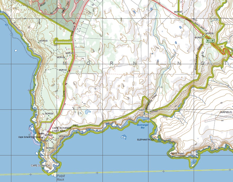
Covers the Old Series Rye Special and the out of print Cape Schanck map
Rye, Tootgarook, Koreen Point, Bridgewater Bay, The Bridge, Glenn Point, Dimmicks Beach, Henry Wilson Drive Wetland, Betty Clift Bushland Reserve, Arthurs Seat SP, Waterfall Creek, Goolgowie Bushland Reserve, Murray Anderson Creek, Splitters Creek, mbtg, Manton Creek, Main Ridge, Peninsula Gardens Bushland Reserve, Chinamans Creek, Orr Point, Rye Ocean Beach, St Andrews Beach, Fingal, Boneo, Mornington Peninsula NP, mbtg, Main Ridge Flora Reserve, Manton Creek South Branch, Flinders NFR, Mount Pleasant, Cotton Tree Creek, Mush Creek, Boag Rocks, Gunnamatta, Long Point Reserve, Lightwood Camping Area, Long Point Walking Link, Long Point Circuit, Summer Hill, mbtg, Blackberry Corner, Devils Punch Bowl, The Pinnacles, Goose Gully, Fargeet Creek, Corkscrew Hill, Meakin, Cape Schanck, Pulpit Rock, Cape Schanck Lighthouse, Burrabong Creek, Elephant Rock, Picnic Point, The Arch, The Blowhole, The Pinnacles.


