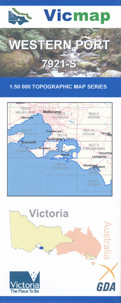
Western Port 1-50,000 Vicmap
Price range: $14.00 through $26.00
Description:
Western Port 1-50,000 scale Vicmap Topographical map 7921S is used for Walking, 4WD, Fishing, Camping, Motorcycle, both On and Off Road, Gold Prospecting and for those simply going for a family weekend drive.
Topographical maps show not only Contours of the Terrain but Walking Tracks, Sealed and Unsealed Roads, Rivers, Creeks, Lakes, Historical Points of Interest, Old Mine Sites and National and State Park areas.
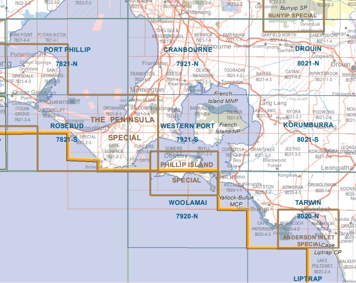
Main Features of this map includes:
The Northern Section of Phillip Island, there is a Phillip Island Special 1-25,000 Vicmap which covers the entire Island, just look under site search
French Island, Hastings, Flinders, Shoreham, Red Hill Merricks, Mount Martha, Somers, Tyabb, Cornonet Bay, Devils Bend, Cowes, Rhyll, Churchill Island, Ventnor
ISBN 9781742086194
You may also like…
-
Rosebud 1-50,000 Vicmap
Price range: $12.00 through $24.00Select options This product has multiple variants. The options may be chosen on the product page -
Port Phillip 1-50,000 Vicmap
Price range: $12.00 through $24.00Select options This product has multiple variants. The options may be chosen on the product page -
Phillip Island Special 1-25,000 Vicmap
Price range: $12.00 through $24.00Select options This product has multiple variants. The options may be chosen on the product page -
Korumburra 1-50,000 Vicmap
Price range: $14.00 through $26.00Select options This product has multiple variants. The options may be chosen on the product page -
Woolamai 1-50,000 Vicmap
Price range: $12.00 through $24.00Select options This product has multiple variants. The options may be chosen on the product page