Moruya 1-25,000 NSW Topographic Map
$16.95 – $31.95
Description:
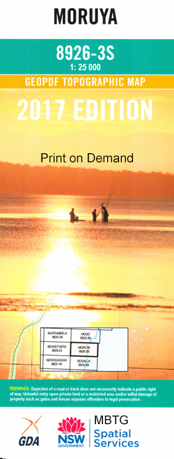
8926-3-S Print on Demand
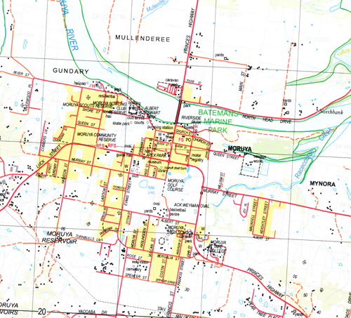
Moruya Moruya Heads Beashel Beashel Hill Bergalia Candoin Creek Congo Congo Creek Congo Point Cudbugga Creek Dwyers Creek Garlandtown Gilmores Creek Golden Gully Congar Park Congo Beach Congo Park Kiora Malabar Creek Meringo Meringo Creek Meringo Point Moruya Aerodrome Moruya High School Moruya Public School Moruya River Mullenderee Mullenderee Creek Mullimburra Point Mungerarie Gully Mungerarie State Forest Myrtle Gully Newstead Noggarula Creek North Moruya Old Man Bed Swamp Pedro Point Pedro Swamp Quandolo Island Racecourse Creek Ryans Gully Sandy Point Spring Creek Toorega Point Toragy Toragy Point Yarragee Yowaga Point Dooga Kellys Lake Coila Creek Moruya Riverside Park Mogendoura High View Glenduart Burra Creek Mogendoura Creek Dooga Creek North Moruva Mayfield Houlan Farm Buckley Farm Mungarere Creek Waratah Myrtle Bank The Pines Tuffwood Newstead View Bonny Brae Deua River Lumeah Wamban Creek Jilambra Easton Condoin Creek Bonny Doon Oaklands Mungarere Hillcrest Rose Hill Congar Point Bergalia House Greenfields Petro Head Black Rock Lake View Mullinburra Point
| Name: | Moruya |
| Publisher: | New South Wales Government |
| Scale: | 1:25000 |
| Latitude Range: | 35° 52.5′ S – 36° 00.0′ S |
| Longitude Range: | 150° 0.0′ E – 150° 15.0′ E |
| Datum: | GDA 94 |
| Approx Print Size: | 0.56m X 1.11m |


