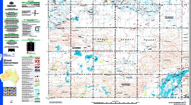
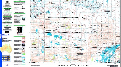
Mount Bannerman 1-250,000 Topographic Map
$15.95 – $30.95
Description:
Print on Demand
Part of the Canning Stock Route Wiluna to HallsCreek
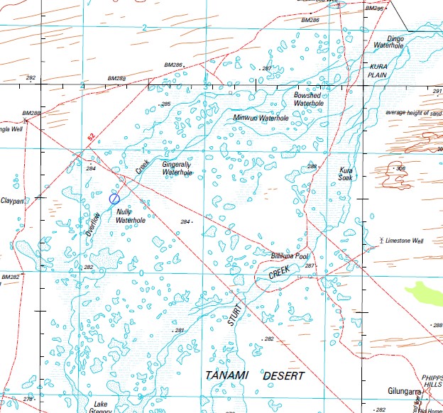
Aquarian Spring Banjo Waterhole Bannerman Soak Billiluna Pool Billiluna Pool Yard Binda Creek Binda Hole Black Rocks Bloodwood Well Boundary Hill Bowshed Waterhole Brown Lookout Bulka Bulka Creek Bulka Hills Bulka Swamp Bulka Yard Bull Flat Bull Flat Bore Bunganura Waterhole Burrtina Pool Butchilbiddee Community Cajuput Spring Casey Range Cemetery Claypan Chudla Bore Chungla Well Cummins Range Dora Knob Duck Hole Gingerally Waterhole Hitler Waterhole Jew Soak Junction Creek Kaiki Yard Kura Plain Kura Soak Lake Betty Lake Blakers Lake Doman Lake Jones Lake Lanagan Lake Mclernon Lawford Creek Madigan Maggie Creek Mcdonald Spring Middle Spring Minneroo Pool Miwun Waterhole Mount Bannerman Mount Erskine Mount Josephine Mungoo Waterhole Ngarantjadu Claypan Ngarantjadu Community No. 1 Well No. 2 Well No. 3 Well Nully Waterhole Overflow Creek Redleap Pool Salt Creek Shiddi Creek Shiddi Pool Soda Spring Tanami Desert Tonka Spring Tula Yard Wallagee Spring Wattle Spring Wattle Spring Creek Burrtine Pool Bulka Bore Butchilbidee Ngarantjadu Lurreringu Old Soak Kura Soaks Sturt Creek Lake Gregory
| Name: | Mount Bannerman |
| Publisher: | Geoscience Australia (Australian Government) |
| Scale: | 1:250000 |
| Latitude Range: | 19° 00.0′ S – 20° 0.0′ S |
| Longitude Range: | 126° 0.0′ E – 127° 30.0′ E |
| Projection / Datum: | Universal Transverse Mercator, GDA94 |
| Approx Print Size: | 0.44m X 0.67m |
| Publication Date: | 1-Jun-03 |


