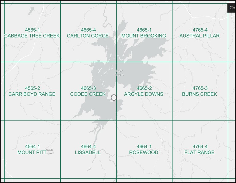
Mount Brooking 1-50000 Topographic Map 4665-1 WA
$14.95 – $26.95
Description:
Mount Brooking 1-50000 Topographic Map 4665-1 WA Print on Demand
North East Section of Lake Argyle
Locations within this Map
Bay of Islands Butler Creek Carl Bay Chinyin Island Donkey Gap Dravo Peninsula Fine Spring Creek Golden Gate Country Granite Creek Gundarim Ridge Hagan Island Hicks Creek Bore Hicks Passage Highway Plain Josey Island Kilfoyle Island Lake Argyle Matchbox Creek Mirima Dingo Springs Community Mount Brooking Mount Hensman Mount Misery Napoleon Bay No. 14 Bore North Hummocks Pannikin Bay Peters Spring Creek South Hummocks Spider Point Spillway Bridge Thompson Spring Utility Gat Weldon Point Yardungarl Community
| Name: | Mount Brooking |
| Publisher: | Geoscience Australia (Australian Government) |
| Scale: | 1:50000 |
| Latitude Range: | 16° 0.0′ S – 16° 15.0′ S |
| Longitude Range: | 128° 45.0′ E – 129° 0.0′ E |
| Projection / Datum: | Universal Transverse Mercator, GDA94 or WGS84 |
| Approx Print Size: | 0.56m X 0.56m |
| Publication Date: | 1-Jun-89 |
Read More


