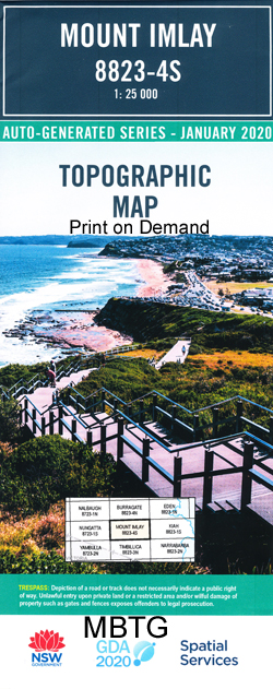
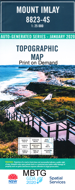
Mount Imlay 1-25,000 NSW Topographic Map
$16.95 – $31.95
Description:
Mount Imlay 1-25,000 NSW Topographic Map 8823-4-S Print on Demand
Locations within this Map
Falkner Creek Heathy Gap Creek Imlay Imlay Creek Mount Imlay Indigo Creek Poole Mount Poole Snob Creek Stanley Creek Sturt Timbillica Creek Timbillica River Towamba Wallagaraugh River Yambulla Mount Poole Flora Reserve Sawpit Gully Lower Towamba
| Name: | Mount Imlay |
| Publisher: | New South Wales Government |
| Scale: | 1:25000 |
| Latitude Range: | 37° 7.5′ S – 37° 15.0′ S |
| Longitude Range: | 149° 30.0′ E – 149° 45.0′ E |
| Datum: | GDA 94 |
| Approx Print Size: | 0.56m X 1.11m |
Read More


