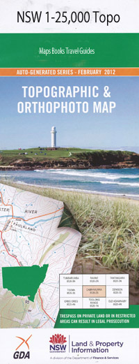
Mount Rodd 1-25,000 NSW Topographic Map
$16.95 – $31.95
Description:
9038-4-S Print on Demand
Ford End Rose Valley Cavanba Bondi Glen Owen The Ranch West End Wadgie Wyundra Alkira Lincoln Cooyong Darling Plain Orban Booralee Averys Waterhole Armstrongs Tanks Adams Adams Scrub Balfour Barden Chinamans Knob Clare Darling Plain Creek Delingera Delingera Pinnacle Emu Creek Gineroi Glendee Creek Hallams Spring Creek Harts Creek Darling Plain Gully The Gap Georges Creek Hallams Spring Lunatic Waterholes Nippen Jessup Waterhole Oakey Creek Oakey Creek Tank Oaky Creek Oaky Creek Tank Perpendicular Rock Pine Creek The Pinnacle Plain Gully Quart Pot Quart Pot Well Ram Station Creek Rifle Range Gully Mount Rodd Scrub Creek Spring Creek Spring Creek Tank Stonefield Creek Tea Tree Creek Ti Tree Creek Turrawarra Warialda State Forest Wirrega Wyndham Yellow George Creek Yellow George Waterholes Double Crossing Dumboy Sugarloaf Creek Hallams Creek Warialda Rail Koloona Warialda Road
| Name: | Mount Rodd |
| Publisher: | New South Wales Government |
| Scale: | 1:25000 |
| Latitude Range: | 29° 37.5′ S – 29° 45.0′ S |
| Longitude Range: | 150° 30.0′ E – 150° 45.0′ E |
| Datum: | GDA 94 |
| Approx Print Size: | 0.56m X 1.11m |

