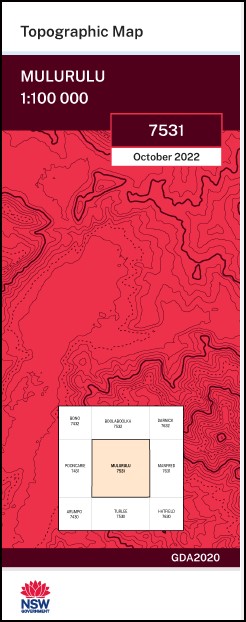
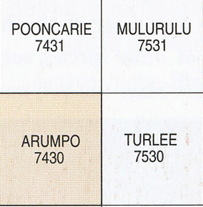
Mulurulu 1-100,000 NSW Topographic Map
$16.95 – $28.95
Description:
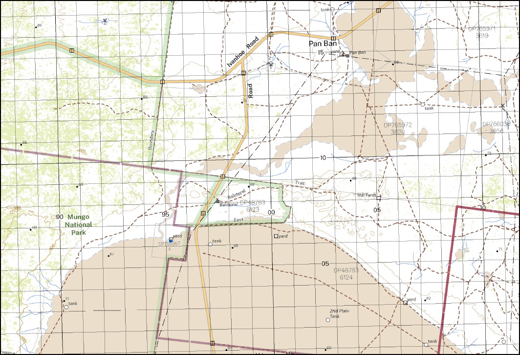
The Mulurulu 1-100,000 NSW topographical map 7531 covers part of the Mungo National Park.
Locations within this Map
Wilkurra C Lake Bulgamurra Spring Hill Pan Ban Balmoral Mulurulu Mandleman Baymore Garnpang Gol Gol Campbells Swamp Garnpung Lake Four Mile Tank Mandleman Government Tank Mandleman Tank Manya Tank Mulurulu Lake Kasserhill Khartoum Mandellman Mulurula Beela Bertram Camelot Coonong Kandra Midgehope Morthong Nambucurra Nania Perry Wanteboolka Gray Jacks Tank Woods Tank Red Hill Tanks Qundong Tank Panban First Plain Paddock Tank Second Plain Paddock Tank Garnpung
| Name: | Mulurulu |
| Publisher: | New South Wales Government |
| Scale: | 1:100000 |
| Latitude Range: | 33° 00.0′ S – 33° 30.0′ S |
| Longitude Range: | 143° 0.0′ E – 143° 30.0′ E |
| Datum: | GDA 2020
Edition 2022 |
Print on Demand
Read More


