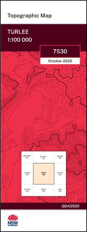
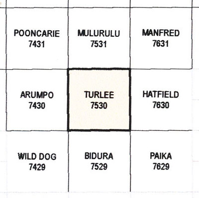
Turlee 1-100,000 NSW Topographical Map
$16.95 – $28.95
Description:
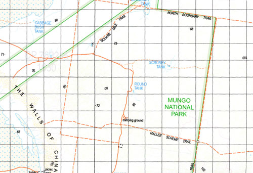
The Turlee 1-100,000 NSW topographical map 7530 covers part of the Mungo National Park.
Locations within this Map
Garnpang Gol Gol Leaghur Zanci Mungo Boree Plains Joulni Carrawatha Wampo Iona Turlee Blackfellows Water Hole Chibnalwood Lakes Greasy Catch Tank Lake Leaghur Lake Mungo Ryah Box Flat Tankie Tank The Walls of China Yankie Tank Magenta Burkett North Garnpung Brooke Burkett Spencer Solferino Tankie Mungo National Park Stitzs Hut Mia Mia Tank Collins Tank
| Name: | Turlee |
| Publisher: | New South Wales Government |
| Scale: | 1:100,000 |
| Latitude Range: | 33° 30.0′ S – 34° 0.0′ S |
| Longitude Range: | 143° 0.0′ E – 143° 30.0′ E |
| Datum: | GDA 2020
Edition 2022 |
Print on Demand
Read More


