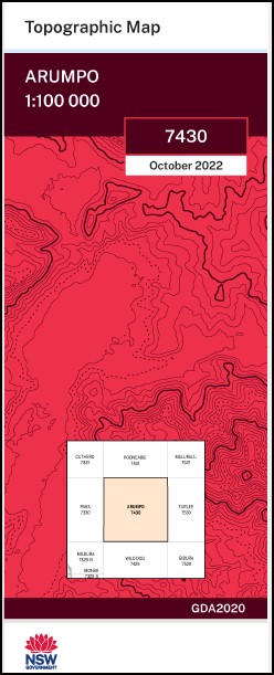
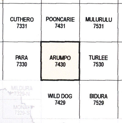
Arumpo 1-100,000 NSW Topographic Map
$16.95 – $28.95
Description:
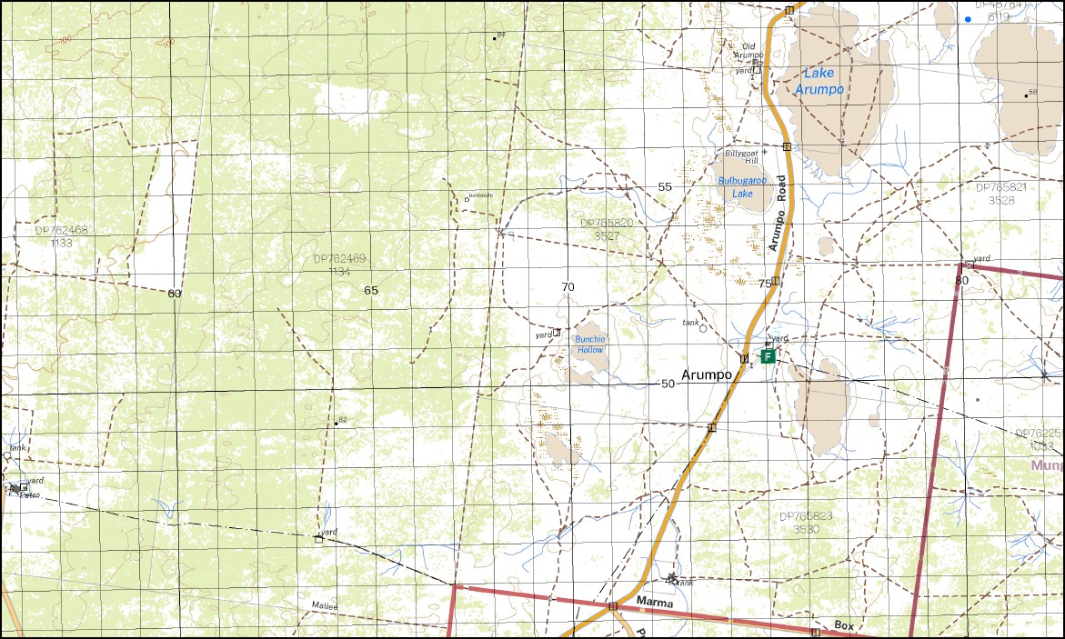
The Arumpo 1-100,000 NSW topographical map 7430 covers part of the Mungo National Park.
Locations within this Map
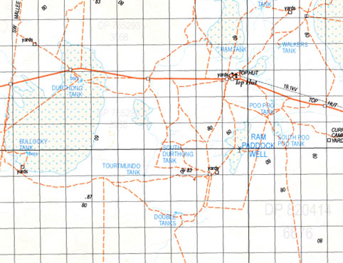
Carstairs Peaka Balranald Gate Top Hut Old Arumpo Arumpo Murragi Petro Chibnalwood Bellnar Marma Arumpo Creek Lake Arumpo Arumpo Tank Andersons Water Hole Baldwins Tank Balranald Gate Tank Billygoat Hill Bulbugaroo Dry Lake Bulbugaroo Lake Canegrass Tank Franks Tank Junction Tank Franks Plains Tank Middle Tank Mundonah Bore Neighbors Tank Neighbours Tank Ravine Tank Tourtmundo Tank Bullocky Tank Bunchie Hollow Bunchie Tank Bunchie Annand Bullanmong Buraguy Coonpa Letheroe Mindelwul Moangola Murnowella Nundrower Poimba Pondery Pulpa Roma Thoomby Uki Ulong Connargee Burrie Bonparker Tank Scrub Hut Tank Arumpo Lake Arumpo House Marragi
| Name: | Arumpo |
| Publisher: | New South Wales Government |
| Scale: | 1:100,000 |
| Latitude Range: | 33° 30.0′ S – 34° 0.0′ S |
| Longitude Range: | 142° 30.0′ E – 143° 0.0′ E |
| Datum: | GDA 2020
Edition 2022 |
Print on Demand


