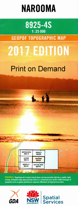
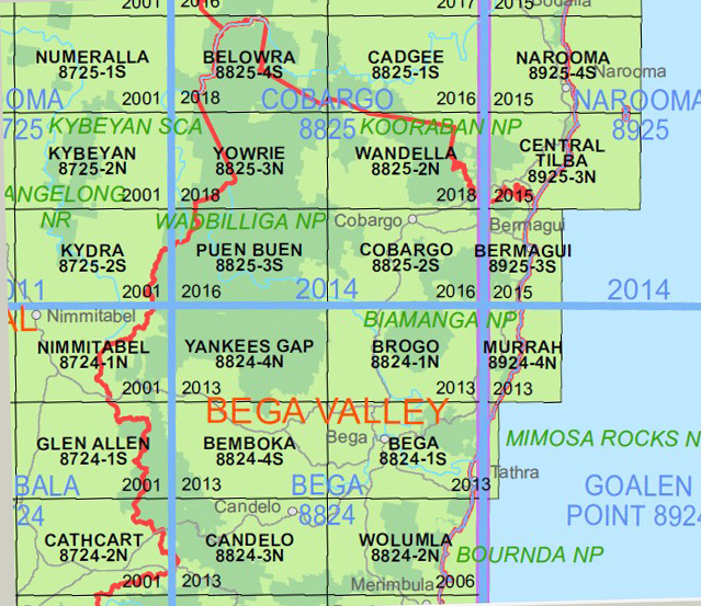
Narooma 1-25,000 NSW Topographic Map
$16.95 – $29.95
Description:
Narooma 1-25,000 NSW Topographic Map 8925-4-S NOW PRINT ON DEMAND is used for Walking, 4WD, Fishing, Camping, Motorcycle, both On and Off Road, Gold Prospecting and for those simply going for a family weekend drive.
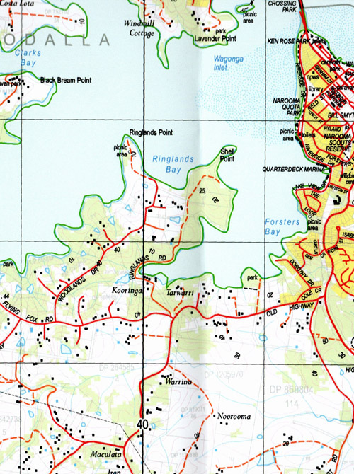
Topographical maps show not only Contours of the Terrain but also Walking Tracks, Sealed and Unsealed Roads, Rivers, Creeks, Lakes, Historical Point of Interest, Old Mine Sites mbtgand National and State Park areas.
Also now available printed on Plastic Waterproof Paper Folded
Locations within this Map
Dalmeny Narooma Amherst Island Amhurst Island Bar Beach Barlows Bay Barunguba Billa Bilba Creek Black Bream Point Brices Bay Brou Beach Brow Beach Brow Creek Charleys Gully Clarks Bay Cobra Mountain Cowdroy Creek Evans Point Flying Fox Bay Forsters Bay Frenchmans Gully Freshwater Bay Glasshouse Rocks Grants Lookout Growlers Gully Hobbs Bay Hobbs Point Charleys Creek Fosters Bay Handkerchief Lake Kianga Kianga Creek Kianga Estate Kianga Lake Kianga Point Lavender Point Lawlers Creek Little Lake Makins Creek Makins Hill Montagu Island Mummuga Mummuga Creek Mummuga Head Lake Mummuga Myrtle Gully Nangudga Lake Narooma Beach Narooma General Cemetery Narooma High School Narooma Post Office Narooma Public School Naorooma Noorooma Noorooma General Cemetery Noorooma Public School Olsons Creek Paradise Point Punkalla Rats Head Creek Ringlands Bay Ringlands Point Shell Point Silvestris Flora Reserve Stony Creek Surf Beach Wagonga Wagonga Head Wagonga Hill Wagonga Inlet Wagonga River Wagonga Lake Waramba Rocks Whittakers Creek Dingo Hole Bullengella Lake Burrimbidgee Creek Bar Rock Lookout Bucks Lookout Buckeridge Lookout Carters Beach Duesburys Point George Noble Park Handkerchief Beach Harold Buckeridge Lookout mbtg Honeymoon Bay Honeymoon Point Kianga Beach Mill Bay Dalmeny Beach Duesburys Beach Yabbara Beach Yabbara Point Joshs Beach The Gut Pebbly Beach Dalmeny Rotary Park North Narooma Bill Robinson Park Spring Creek Narooma Quota Park Cresswick Cove Ferry Crossing Park Minmuga Lake Yellow Head
| Name: | Narooma |
| Publisher: | New South Wales Government |
| Scale: | 1:25,000 |
| Latitude Range: | 36° 7.5′ S – 36° 15.0′ S |
| Longitude Range: | 150° 0.0′ E – 150° 15.0′ E |
| Datum: | GDA 2020 Edition 2022 |
| Approx Print Size: | 0.56m X 1.11m |


