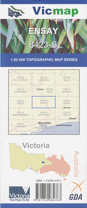
Ensay 1-50,000 Vicmap
$12.00 – $24.00
Description:
Ensay 1-50,000 scale Vicmap Topographical map 8423S is used for Walking, 4WD, Fishing, Camping, Motorcycle, both On and Off Road, Gold Prospecting and for those simply going for a family weekend drive.
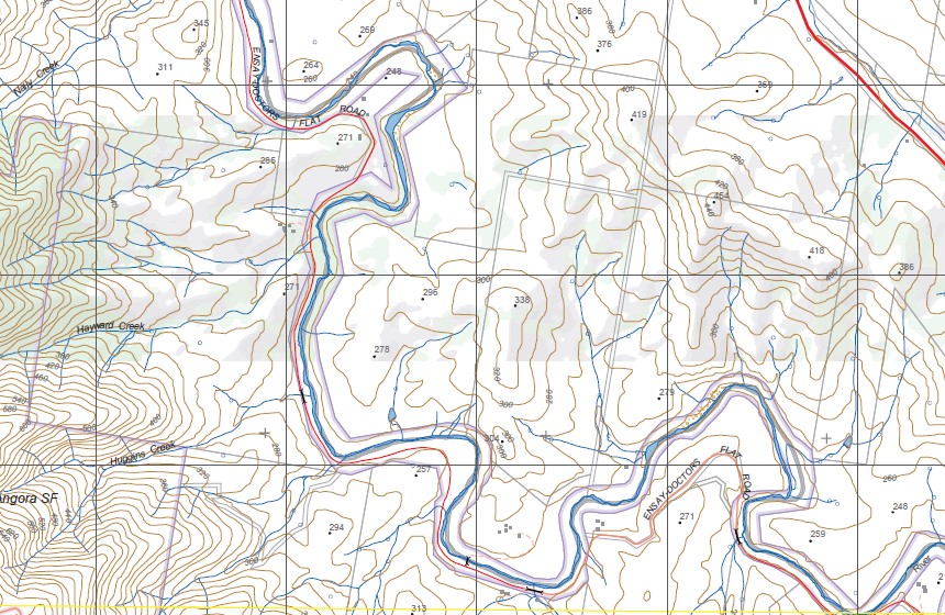
Topographical maps show not only Contours of the Terrain but Walking Tracks, Sealed and Unsealed Roads, Rivers, Creeks, Lakes, Historical Point of Interest, Old Mine Sites mbtg and National and State Park areas.
Main Features of this map include:
Ensay township
Ensay, Ensay North, Ensay South, Sheepstation Creek, Doctors Flat, Mount Hopeful, McKenzies Track, Morass Creek Road, The Big Lift, Nunniong State Forest, Mount Wong State Forest, Timbarra Gorge, Camp Oven Gap, mbtg, Tambo River, Dead Horse Flat, Dog Town, Cassilis, Ensay, Ensay North, Ensay South, Sheepstation Creek, Doctors Flat, Mount Hopeful, McKenzies Track, Morass Creek Road, The Big Lift, Nunniong State Forest, Mount Wong State Forest, Timbarra Gorge, Camp Oven Gap,. Ensay
Brookbville, Swifts Creek, The Walnuts, MOUNT DELUSION, Mount Delusion State Forest, LIVINGSTONE CREEK NFSR, Wentworth and Wentworth State Forest, STROBRIDGE RIDGE. Dead Spur, Notch Hill, Dingoes Ridge, CASSILIS Historic Area, Tongio West, King Cassilis Mine, Crinoline Walking Track, Angora Range, Fishing Rod Spur, Ghost Spur, Mount Nybor, Dead Bird Spur, Mount Burt State Forest, MINERS WAY Track, BOONABIRRAH HILL, Doctors Flat, mbtg,, Seldom Seen, Wentworth State Forest, STROBRIDGE RIDGE, Mikado Hill, Marthavale, Warriballat State Forest, Wooly Butt Spur, Purtle Spur, Yowen – Burrun State Forest, Mount Baldhead, Dawson City, Haunted Stream, Kilgowar, Mount Dow, Forktown, Stirling, Dogtown


