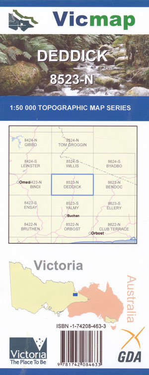

Deddick 1-50,000 Vicmap
Price range: $12.00 through $24.00
Description:
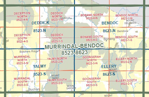
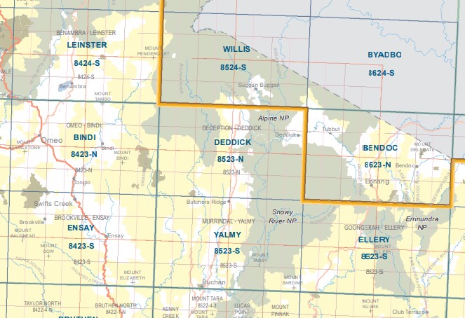
Deddick 1-50,000 scale Vicmap Topographical map 8523N is used for Walking, 4WD, Fishing, Camping, Motorcycle, both On and Off Road, Gold Prospecting and for those simply going for a family weekend drive.
Topographical maps show not only Contours of the Terrain but Walking Tracks, Sealed and Unsealed Roads, Rivers, Creeks, Lakes, Historical Point of Interest, Old Mine Sites mbtg and National and State Park areas.
Main Features of this map include:
Deddick and Gelantipy townships, McKillops Bridge
Sections of the Alpine National Park and Snowy River National Park
Gelantipy Plateau, Mount Seldom Seen, Little River Gorge, Mount Deddick
Mountain Creek, Mount Deception, Bowen Wilderness Zone, Digger Hole Spur, Forlorn Hope Spur, Nunnett Pain NF SR, Mount Plain, Nunniong SF, Mount Nunniong, Sugar Loaf, Black Mountain, Mt Hamilton, Outlook Knob, mbtg, Little Mount Hamilton, Little River Gorge, Mt Wheeler, Tulloch Ard SF, Mount Stewart, Mount Statham, Campbell Knob Devils Back Bone, Round Hill, The Peak, Mount Bulla Bulla, Bowen Wilderness Zone, Deddick Valley, Rodger River and Mountain Creek Natural Catchment Area
ISBN 9781742084633
You may also like…
-
Yalmy 1-50,000 Vicmap
Price range: $12.00 through $24.00Select options This product has multiple variants. The options may be chosen on the product page -
Ensay 1-50,000 Vicmap
Price range: $12.00 through $24.00Select options This product has multiple variants. The options may be chosen on the product page -
Ellery 1-50,000 Vicmap
Price range: $12.00 through $24.00Select options This product has multiple variants. The options may be chosen on the product page -
Leinster 1-50,000 Vicmap
Price range: $12.00 through $24.00Select options This product has multiple variants. The options may be chosen on the product page -
Bendoc 1-50,000 Vicmap
Price range: $12.00 through $24.00Select options This product has multiple variants. The options may be chosen on the product page -
Bindi 1-50,000 Vicmap
Price range: $12.00 through $24.00Select options This product has multiple variants. The options may be chosen on the product page -
Byadbo 1-50,000 Vicmap
Price range: $12.00 through $24.00Select options This product has multiple variants. The options may be chosen on the product page -
Willis 1-50,000 Vicmap
Price range: $12.00 through $24.00Select options This product has multiple variants. The options may be chosen on the product page