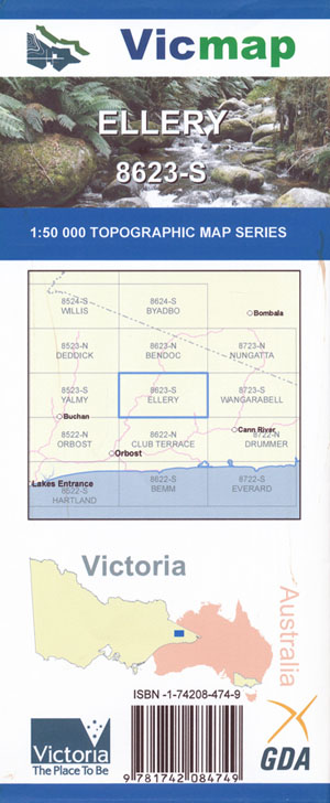
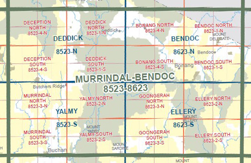
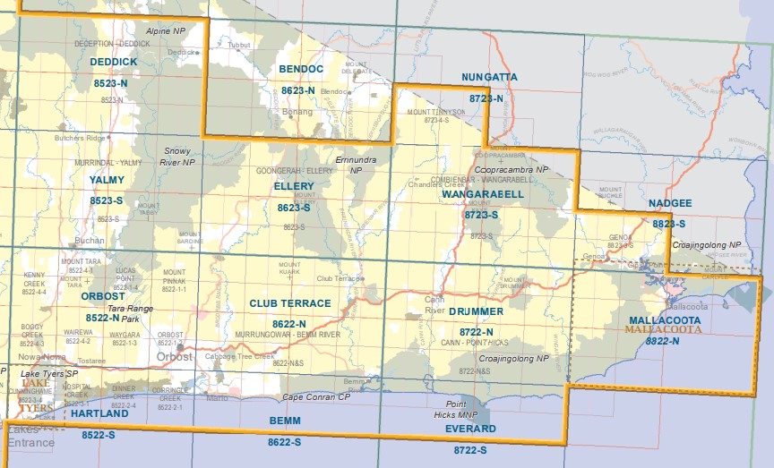
Ellery 1-50,000 Vicmap
$12.00 – $24.00
Description:
Ellery 1-50,000 scale Vicmap Topographical map 8623S is used for Walking, 4WD, Fishing, Camping, Motorcycle, both On and Off Road, Gold Prospecting and for those simply going for a family weekend drive.
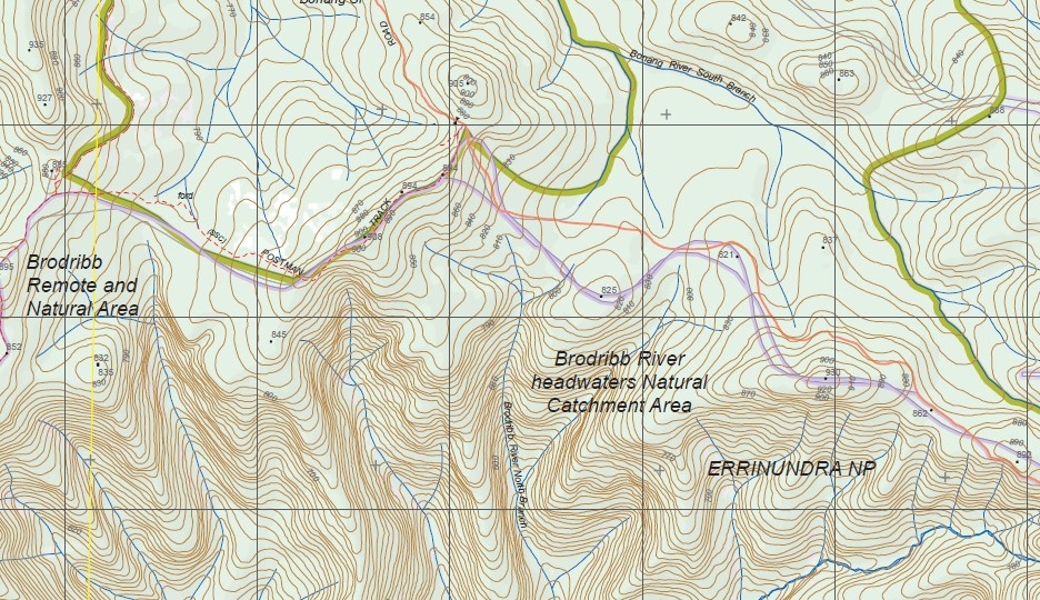
Topographical maps show not only Contours of the Terrain but Walking Tracks, Sealed and Unsealed Roads, Rivers, Creeks, Lakes, Historical Point of Interest, Old Mine Sites mbtg and National and State Park areas.
Main Features of this map include:
ERRINUNDRA NATIONAL PARK, Bonang State Forest, Brodribb River Headwaters Natural Catchment Area, Brodrib River, Ellery State Forest, Ellery Spur, Combienbar State Forest, Gunmark Range, Walton Camp Creek, Errinundra River – East Branch Natural Catchment Area, Frosty Hollow Camping Area, Mount Ellery, Ellery State Forest, Errinundra, Bee Tree Saddle, Cattleyard Saddle, STURGESS KNOB, Murrungowar State Forest, Little Goolengook River, TOMMY ROUNDHEAD HILL, Combienbar State Forest, Bola Mine (Disused), Black Watch Creek, Club Terrace State Forest, Boulder Flat, LOWER ERRINUNDRA NCR, Misery Spur, COBON NCR, COMBIENBAR RIVER NCR, Cann Valley State Forest
Goongerah, Bowen Wilderness Zone, Snowy River Wilderness Zone, Waratah Flat Campground, Rodger River and Mountain Creek Natural Catchment Area, Yalmy State Forest, Mount Jersey, Bonang State Forest, Mount Little Bill, ERRINUNDRA NATIONAL PARK, Goongerrah Camping Ground, Brodribb River Headwaters Natural Catchment Area, mbtg, MARTINS CREEK NCR, Yalmy State Forest, Nurran, THIRTY TWO MILE NCR, Ellery State Forest, ERRINUNDRA NATIONAL PARK, STURGESS KNOB


