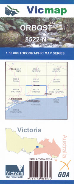
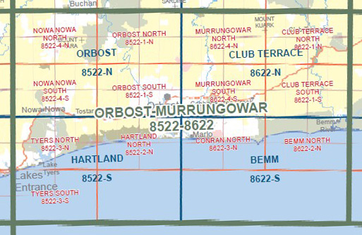
Orbost 1-50,000 Vicmap
$12.00 – $24.00
Description:
Orbost 1-50,000 scale Vicmap Topographical map 8522N is used for Walking, 4WD, Fishing, Camping, Motorcycle, both On and Off Road, Gold Prospecting and for those simply going for a family weekend drive.
Topographical maps show not only Contours of the Terrain but Walking Tracks, Sealed and Unsealed Roads, Rivers, Creeks, Lakes, Historical Points of Interest, Old Mine Sites mbtg and National and State Park areas.
Main Features of this map includes:
Part of the Snowy River and Snowy River National Park
Balley Hooley Camping Area, TARA RANGE PARK, Bete Bolong North, Waygara State Forest, FRYINGPAN HILL, Orbost State Forest, MOUNT PINNAK, MOUNT BUCK, Mount Wat, Fainting Range State Forest, BOGGY CREEK NCR, SPANKER KNOB, Kenny State Forest, FLUKE KNOB, Stonehenge Rockhounds,Caravan Park, BUCHAN CAVE RESERVE, BUCHAN CAVE RESERSE MEMORIAL PARK, Tara State Forest, Mount Tara, WILSONS CAVE RESESERE, MOTTLE RANGE FR, Orbost, Waygara, Waygara State Forest, Newmerella, Simpson Creek, Bete Bolong, Jarrahmond, mbtg, Walls Creek Bridge, Orbost State Forest, Gippsland Rail Trail, Nowa Nowa, Kenny State Forest, Pretty Sally, Gurrun Gurrun Yarn State Forest, Colquhoun / Boyanga Gidi State Forest, Tara State Forest, MOUNT NOWA NOWA, Lake Tyers State Park, CUTFINGER EA, Wairewa, Tostaree, Waygara State Forest


