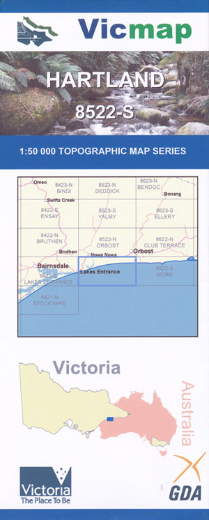
Hartland 1-50,000 Vicmap
Price range: $12.00 through $24.00
Description:
Hartland 1-50,000 scale Vicmap Topographical map 8522S is used for Walking, 4WD, Fishing, Camping, Motorcycle, both On and Off Road, Gold Prospecting and for those simply going for a family weekend drive.
Topographical maps show not only Contours of the Terrain but Walking Tracks, Sealed and Unsealed Roads, Rivers, Creeks, Lakes, Historical Point of Interest, Old Mine Sites mbtg and National and State Park areas.
Main Features of this map include:
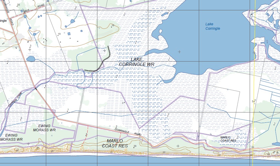
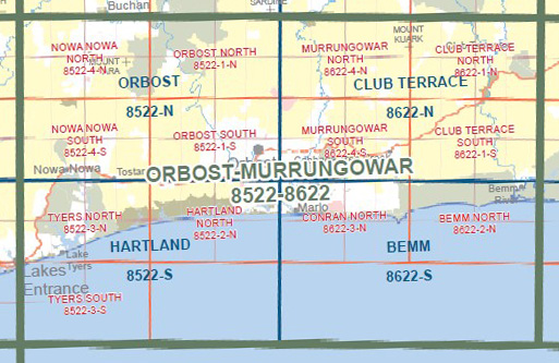
Eastern half of Lakes Entrance, Lake Tyers to Lake Corringle
Waygara State Forest, Hartland State Forest, Ewing Marsh, EWING MORASS WR, Patricia Baleen Plant, Lake Beatle, Lake Little Beatle, Corringle, Marlo Coastal Reserve, LAKE CORRINGLE WR
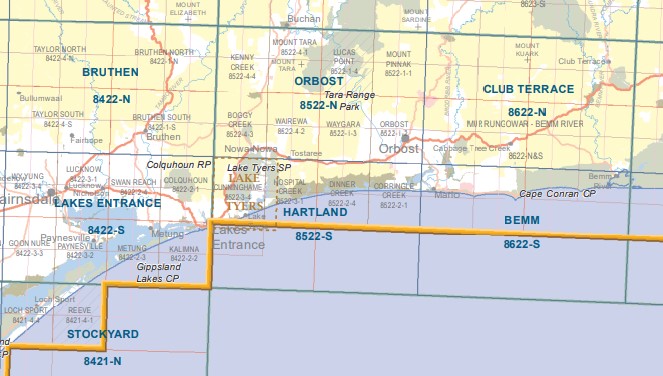
The edge of Lakes Entrance, Lake Tyers, Tostaree, Waygara, Colquhoun / Boyanga Gidi State Forest, Lake Tyers Forest Park Toorloo Arm, Cunninghame, Merrangbaur Hill, Lake Bunga, mbtg, LAKES ENTRANCE – LAKE TYERS COAST RESERVE, Nowa Nowa Arm, Camerons Arm, The Glasshouse Camping Area, EWING MORASS WR, Hartland State Forest
ISBN 9781742084916
You may also like…
-
Club Terrace 1-50,000 Vicmap
Price range: $12.00 through $24.00Select options This product has multiple variants. The options may be chosen on the product page -
Orbost 1-50,000 Vicmap Topographical Map 8522-N
Price range: $14.00 through $26.00Select options This product has multiple variants. The options may be chosen on the product page -
Bairnsdale Dargo Omeo Adventure Map Rooftop
Price range: $12.95 through $25.00Select options This product has multiple variants. The options may be chosen on the product page -
Lakes Entrance 1-50,000 Vicmap
Price range: $12.00 through $24.00Select options This product has multiple variants. The options may be chosen on the product page -
Bemm 1-50,000 Vicmap
Price range: $12.00 through $24.00Select options This product has multiple variants. The options may be chosen on the product page -
Bruthen 1-50,000 Vicmap
Price range: $12.00 through $24.00Select options This product has multiple variants. The options may be chosen on the product page