

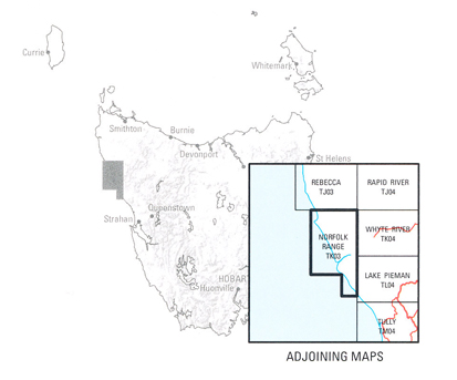
Norfolk Range 1-50,000 Topographic Map Tasmap
$13.95
3 in stock
Description:
Norfolk Range 1-50,000 Tasmap Topographic Map
This map is covered by regional reserves, conservation and nature recreation areas, a strong indication of its wild and untamed natural beauty. The landscape and vegetation has been shaped by exposure to the ferocity of the weather freely sweeping across the Southern Ocean to run aground on the west coast of Tasmania. Large plains have conditions on which only the toughest of shrubs survive, while trees shelter in the valleys. The aboriginal presence in this area is marked by the remains of shell middens, stone arrangements, rock engravings and shelters. Granville Harbour was first settled after World War 1 and is now the home of a $280 million dollar wind farm which came online in 2020. Visitors to this area can enjoy camping, fishing and bush walking.
The 1:50 000 Map Series provides clear and accurate portrayal of topographic information, with symbols and map content giving enhanced depiction of buildings, hill shading and a simplified classification of vegetation.
| Edition: | 1 |
| Production Year: | 2020 |
| Datum: | Geocentric Datum of Australia 2020 (GDA2020) |
| Scale: | 1:50000 |
ISBN 9318923027624